
…..Or, Somerset three hillocks, or, pimples.
Regardless of the meagre height of: Knowle Hill, Maes Knoll, and Blackberry Hill, the route is 16.5 miles of repeatedly undulating, varied and often really lovely views.
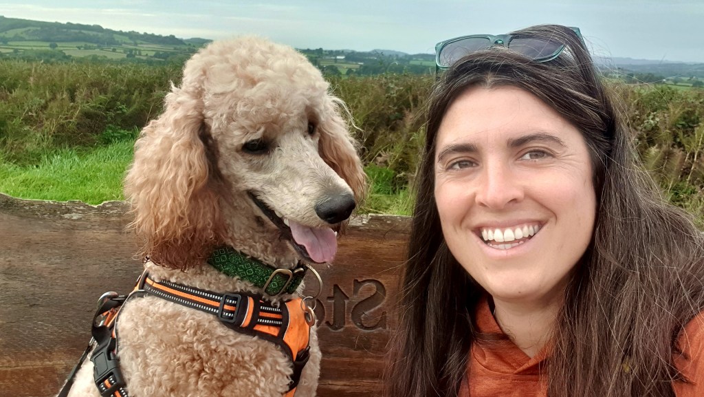
Snake Legs is out of town on business this weekend leaving me and the lad to a weekend of frivolity. I’ve been away for a week, so some quality bonding is needed to remind Flat Eric that I’m the favourite parent.
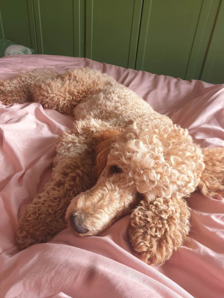
Snakes vanished by 6am, and I woke at 7am with a giant orange poodle lying diagonally across the bed, as is her wont.
I performed my usual ablutions, then took her out to perform hers in the field we’re lucky to have opposite our house.
While drinking an excellent cup of tea, I compiled the remaining things to enter my pack. Power bank on charge. Lunch. Breakfast teacake, pre-buttered. Milk jar (for tea on route) and, fresh coffee to go. And go we did, by 7.45am.
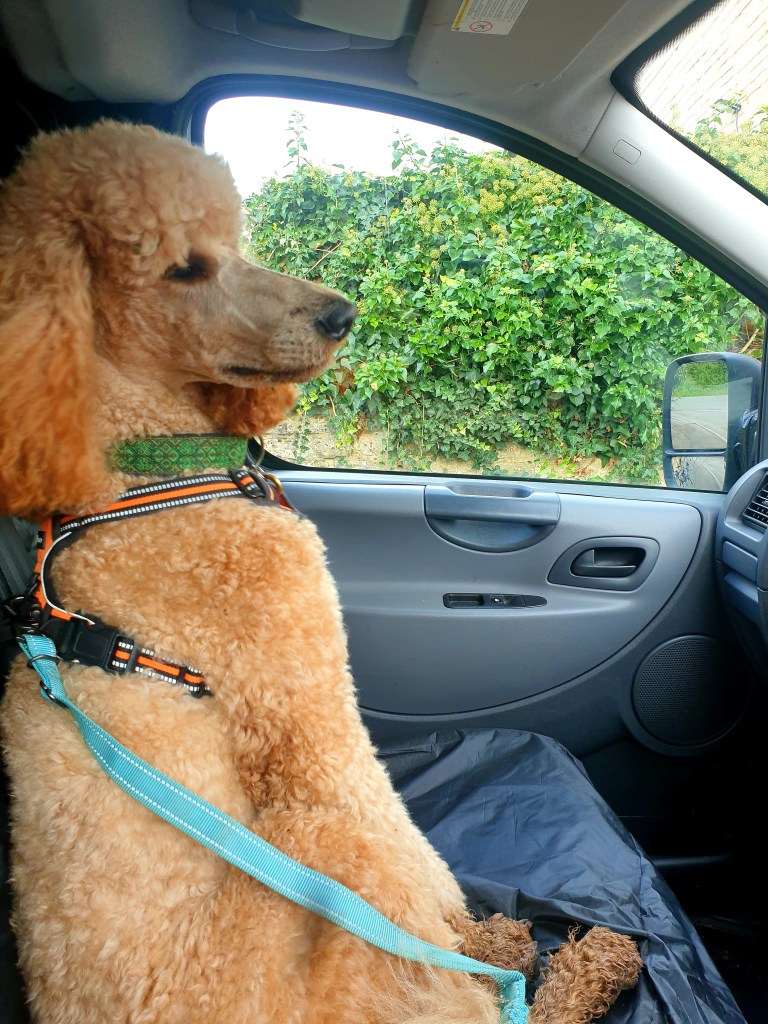
Flat Eric had an extra scoop of crunkles (biscuits) with breakfast as she had a big day ahead. Slightly perturbed and confused by her very brief weeandpoo only morning walk, she jumped up into Howard the van for the 30 minute ride to the outskirts of the Mendip Hills.
Whenever we arrive anywhere in a vehicle with Flat Eric, she whines excitedly like she knows exactly where she is and whats about to happen. We could be taking her to the pound for all she knows.
But no, she exited Howard in a layby outside a nameless (it probably had a name) housing estate in Clutton. Clutton which sounds like a vanerial disease, was where I chose to begin this walk.
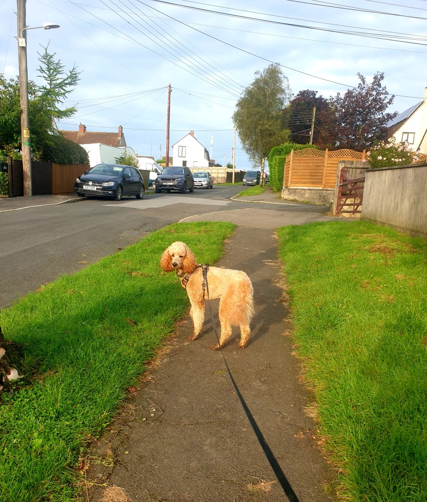
The Somerset 3 Peaks can begin whenever you like, as it’s helpfully been mapped as a loop. Naturally I chose the spot closest to home, I’m clever like that.
The amazing ‘OS map app’ has become a big part of my life. For work, for planning runs, for personal walks. I decided to use only paper maps for this one. I love paper maps. I could look at them for hours. OS 5. Mendip Hills East and OS 155 Bristol and Bath were the duo I needed. Naturally the ones I have are extremely out of date, having likely purchased them from the map man at the local car boot.
A lot can change in 20 years. I got lost immediately, or, found myself on the wrong side of the hedge. This was however, very clearly outlined on the 1993 map, so blaming it wasn’t really fair, I did anyway. A small detour back down the hill and we exited the field. Winnie came face to face with her first goose. Extremely pissed off with both of us.
Unfortunately all the gates on this route are swing gates and Flat Eric cannot negotiate them quickly. I can be making quite good time and then arrive at one of these gates only for Eric to tentatively give it a full, slow sniff before venturing in at the pace that would be forgiven of an 80 year old man.
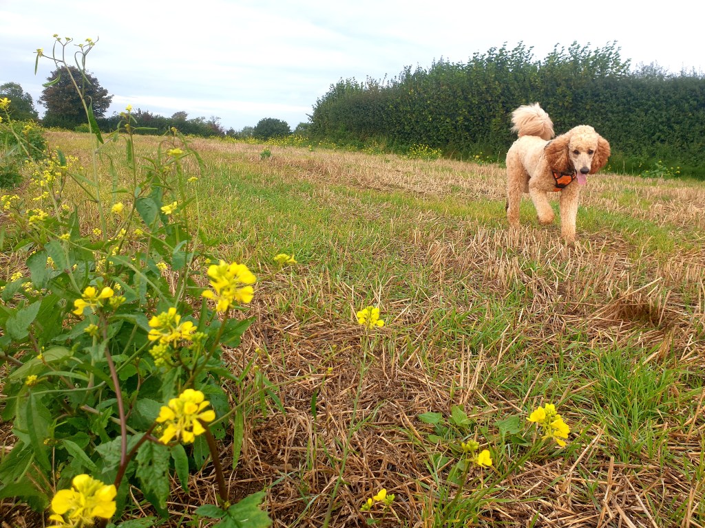
The hills were frequent, easy going generally and always had a great view on the other side. Both sides in fact.
As a lover of peering into peoples lives via their house and garden, this walk lends itself well to my nosey habits. I’d set off just after 8.00 and so the day still had a sleepy Saturday vibe about it, which meant I could feel smug as I walked by occupied houses with their residents just starting to stir awake.
We happily crossed a field of bulls, or I was happy. Flat Eric was glued to my thigh as Snakes has instilled her incurable fear of cattle into her by exposing her to several frantic and irrational passes through fields of cows. Mainly running and screaming occurs, before tears and calm breathless gratitude to still be alive. After this, we were immediately off the East Mendip map and onto the next one, this made me feel as though good progress had been made early, when, realistically I’d be walking for less than 2 miles. The next map had the remaining 14.5 miles of the walk.
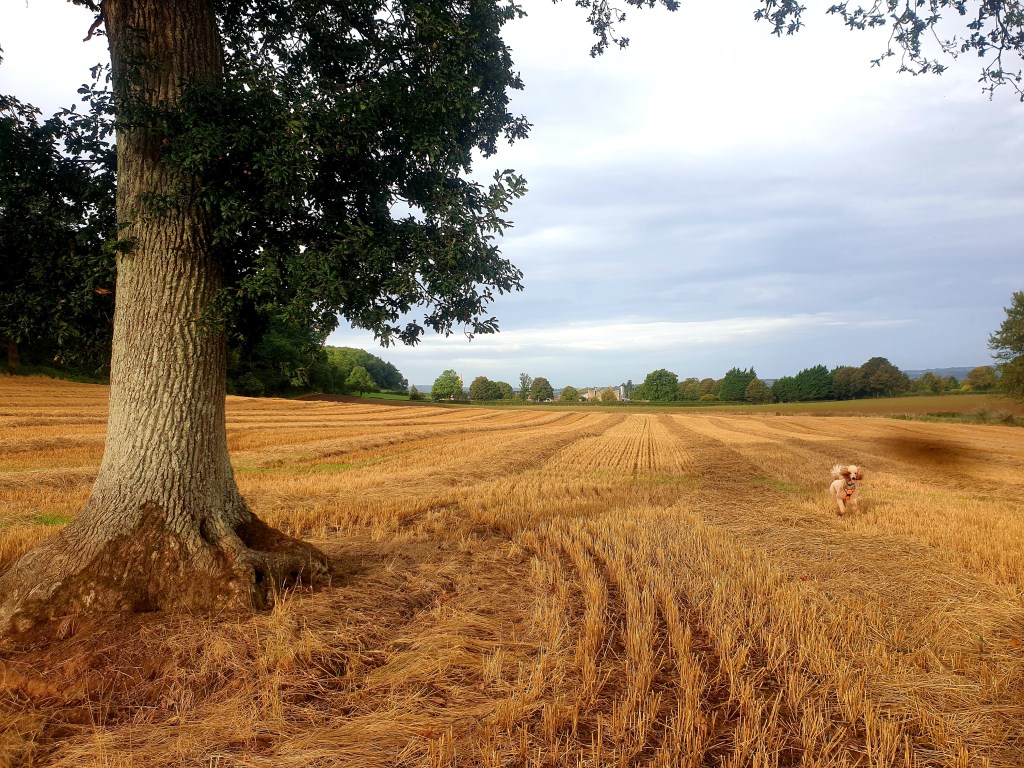
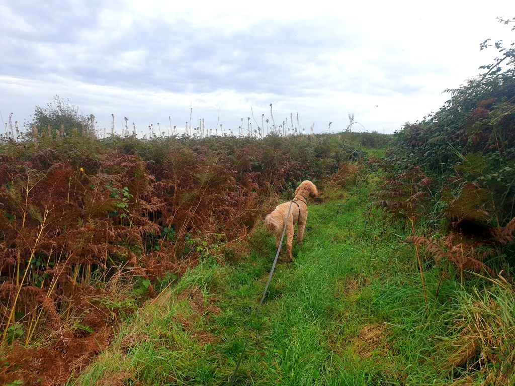
Before long. We were up onto our first hill , Knowle Hill, a bracken filled mound with a commemorative bench on the summit, Chew Valley lake was now in view to the south and endless rolling greens, golds and brown squares to the North. Down the other side, the bracken as high as me, I wondered if it was still warm enough for ticks.
We completed the bottom of the loop, now we turned north walking towards Bristol, skirting the town of Chew Magna. North of the town we traversed Blacklands, a hill sitting at the lofty heights of 118m. Here a man has progressively been working at clipping back the overhanging bramble and nettles. I know it was a man, because after witnessing the neatly kept trail and recent looking bramble cuts, I saw him, and thanked him. We could use more footpath ambassadors.
The most northerly section of this walk takes you along a beautiful minor road which sits high atop a ridge, its bramble hedges are tall and it almost feels apocalyptic with the quiet as you turn to walk West, sunken amongst the towering hedges either side.

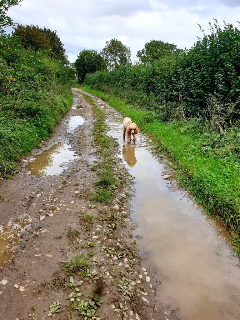
Eric takes advantage of puddles, but makes a quiet quick assessment of them beforehand. The assessment isn’t particularly straightforward, you’d think the more gross the puddle the less likely she would be to drink from it – but, even when I can tell shes thirsty, I’ll draw her in to what, to me, looks to me a the highest quality, best find puddle and she rolls her eyes at me and walks off.
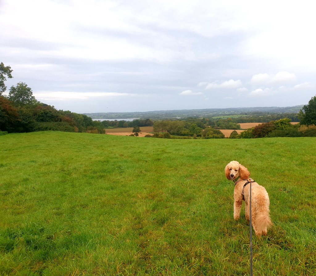
South now, to Maes Knoll, the Iron Age hill fort and Peak 2. From here there are clear views of sprawling Bristol to the North, Bath to the East and the Mendips to the south. I didn’t look West. though I imagine there were things there too.

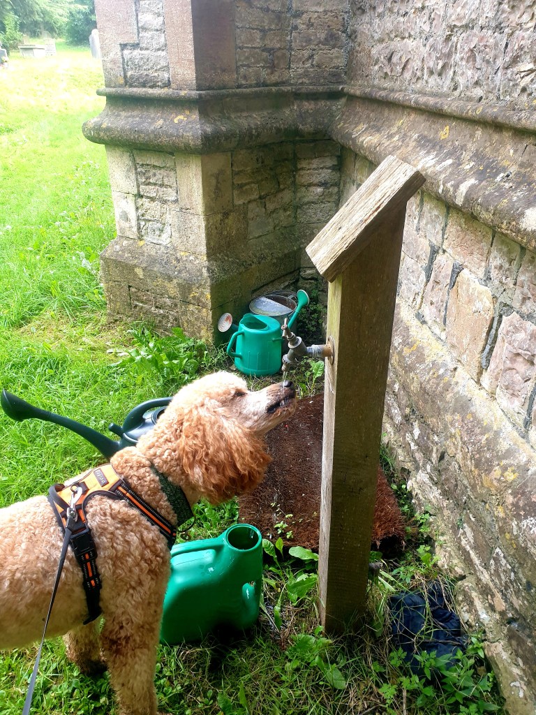
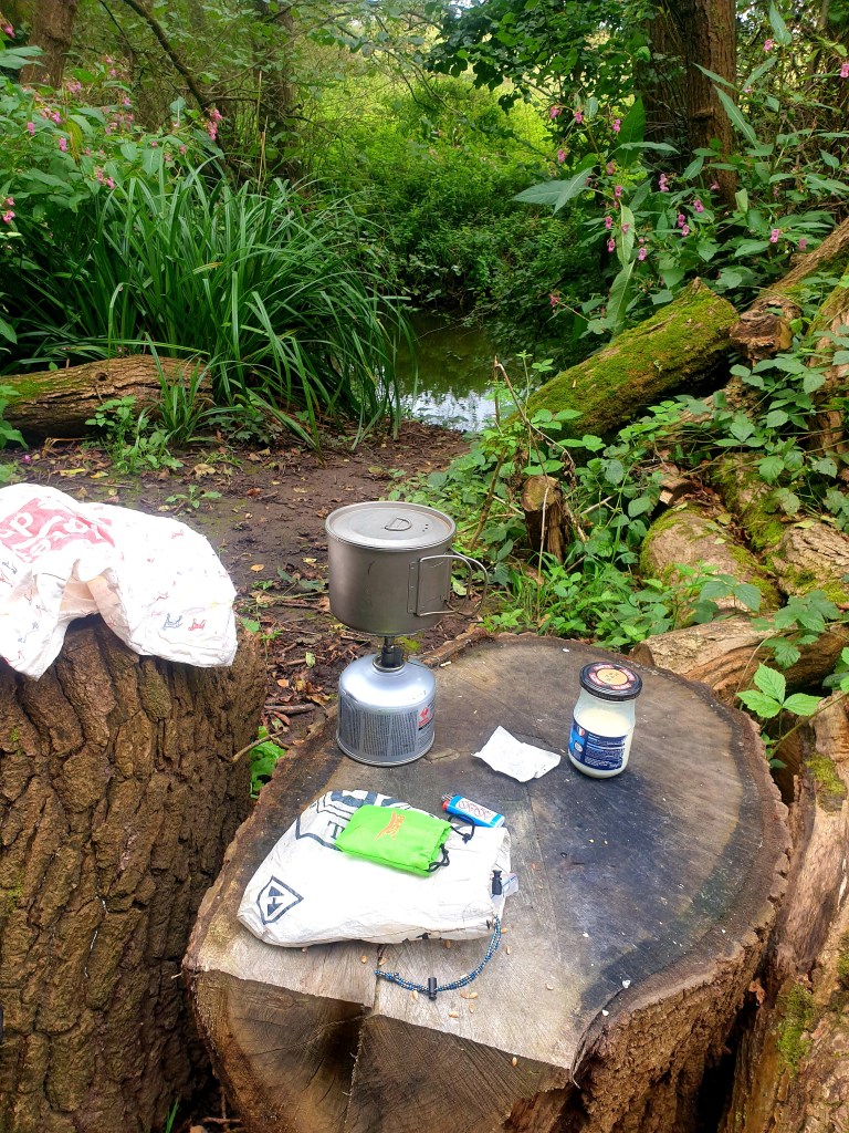
Winnie replenished herself after the descent from Maes Knoll courtesy of the church tap at Norton Malreward. Before long we crossed back over the river Chew and I made a much needed cup of tea. Unfortunately (for me) I’d dropped Winnie’s snack pouch a ways back, so she had most of the cheese out of my sandwich.
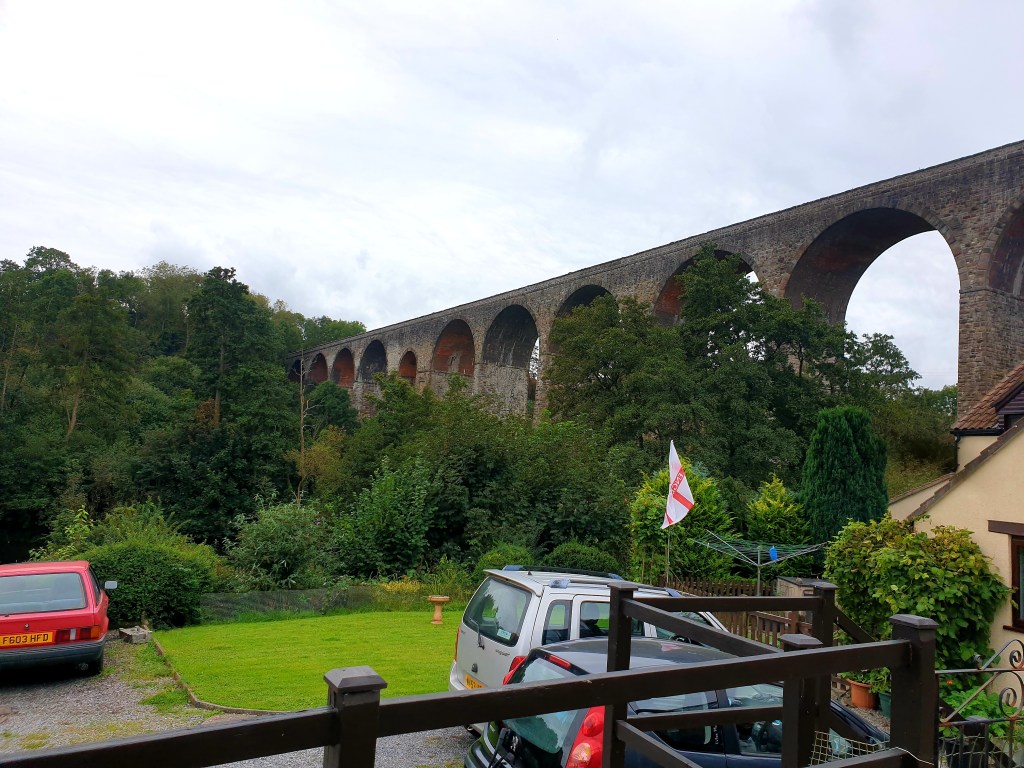
The Pensford Viaduct was in sight. And what a sight it is. Unused since the 60’s it was offered for sale for £1 in 1984. But, no one bought it.
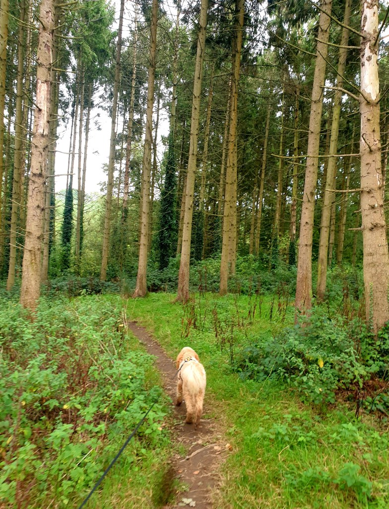
The South Eastern arm of this loop passes through some lovely woodland – both planted and natural broadleaf woods, offering Eric the ability to get all prey driven and prick up her ears. She pelts after squirrels, never sees them dart up a tree, runs right past the last place she saw them and continues to look in all the wrong places. That duck hunting gene is fast diminishing.
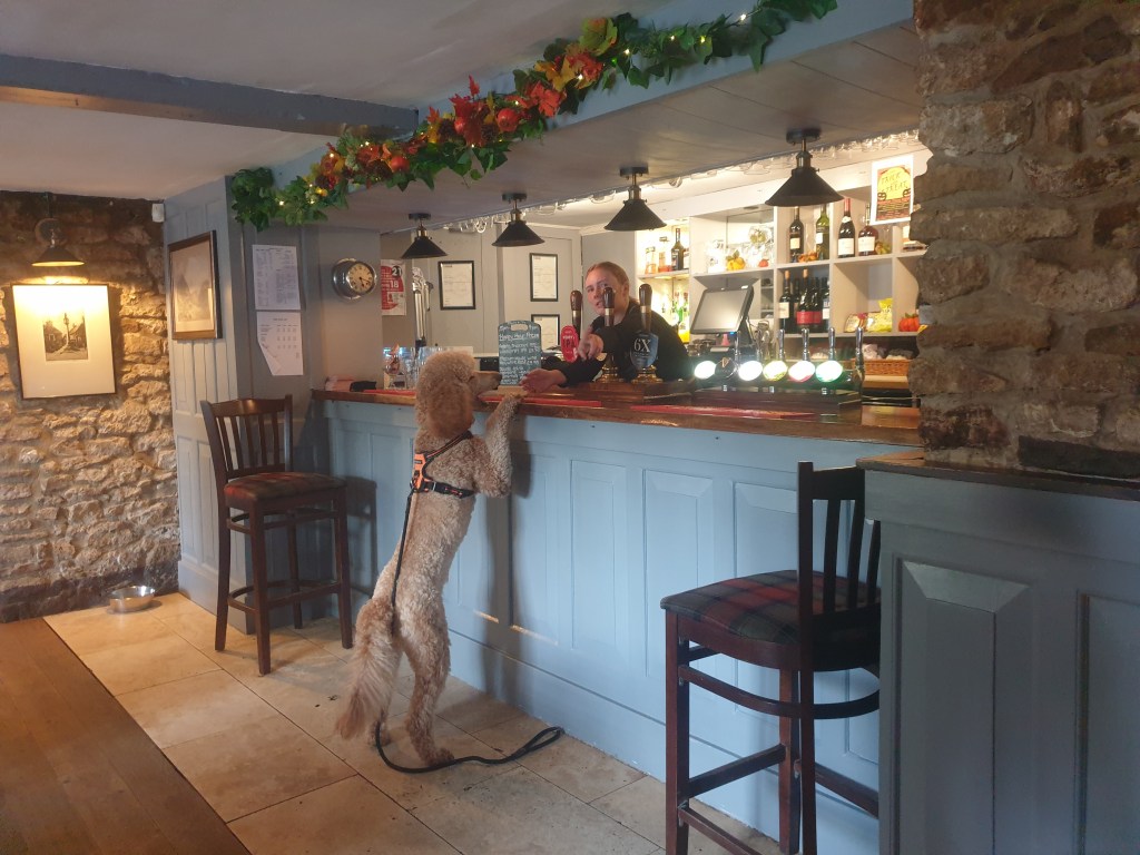
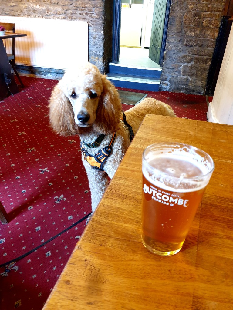
Our last Peak came just before we returned to the first map, Blackberry Hill was a bit of a let down, the trig point is up to the right as you walk a farm track with tall hedges either side, it’s on private land and inaccessible to the top, without trespassing, which usually I’d be all for, but, I was around a mile from the finish and therefore the pub. A few more fields, a man sawing up wood ready for winter, one last small climb and a descent into that housing estate where Howard the van was patiently waiting.
I reckon I’m definitely the favourite parent today.

Glad I’m not the only one fond of an OS map both digital and analogue. Also glad I’m not the only one who cries about cows 🤣
LikeLike
OMG hilarious Astrid and Eric
What an amazing day out and can only say the script was less than perfect as always!!! Eric in the van (Howard) I think Hope I’ve got that right! Such a great little family love you all xxxx
LikeLike
A church tap?? Way better than stock ponds – impressive!
LikeLike