
After an overwhelmingly indulgent Easter weekend, we begun our Easter holiday sojourn around the coast of the Isle of Wight the same way we like to begin all of our walking adventures: feeling fat, tired, and wondering how we ever did this last time.
We woke early, performed last minute bin emptying and plant watering house chores, took Winnie (known as Flat Eric while on trail) to execute her morning ablutions, forced ourselves into shorts, and soon acclimatised to the glare of our lily white legs.
A mere 1.5hr journey (in a car) South, through the New Forest brought us to a prepaid parking spot on a driveway belonging to persons unknown. Snakes booked this ahead of schedule on JustPark, and that, along with the ferry booking were the only 2 things we were firm on. Everything else would be in the hands of the gods, or, more realistically, meteorologists.
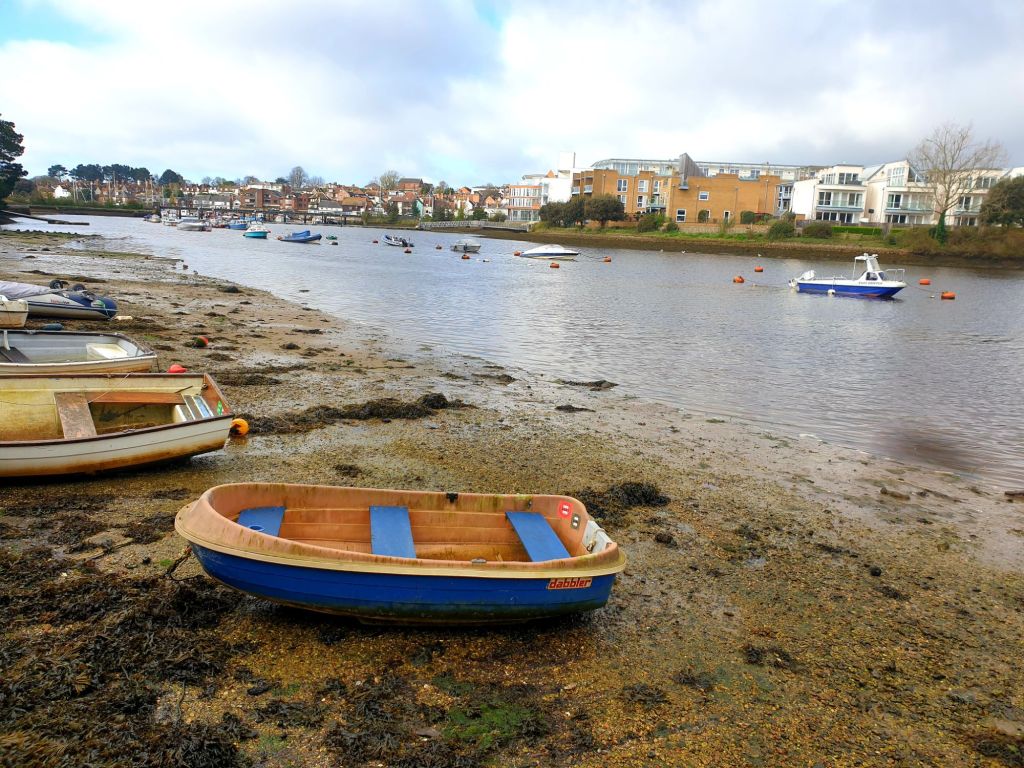
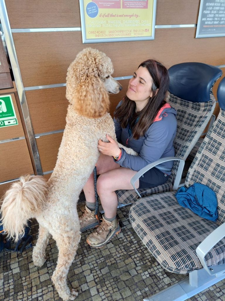
We’d chosen Lymington to be our jumping off point, for no particular reason at all, and, as we refused to pay more than £20 for our parking spot for the week, had an additional 2.4 mile minute walk through Lymington to get to the Ferry Terminal. Here, we sat with coffee and watched like proud parents while Winnie was admired.
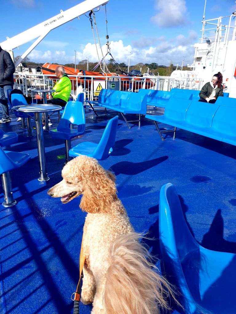
The Wight Ferry link is spectacularly dog friendly, we were swiftly welcomed aboard as foot passengers and Winnie made herself as comfortable (and in the way) as possible.


The Isle of Wight coastal path is 70 ish miles or 113 ish kilometres around mostly the edge, while sometimes skirting inland to avoid the plethora of landlips from 2023. We both have limited English Island experience and seeing as this one is so close to home, we thought we’d give it whirl. The plan is to either camp, or not camp, wild or otherwise, whatever is available / takes our fancy. I’ve read locals are pretty unbothered with a wild camper, but, I’ve promised Snakes we can retreat quickly into the shelter of local establishments whenever meteorologists get it all wrong. So, always.
Within what felt like mere moments we were across the sunny Solent and on the diamond shaped landmass. The rain was hoiding off and the skys were excitingly bright.
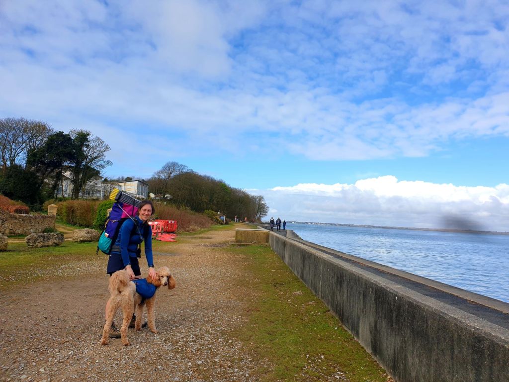
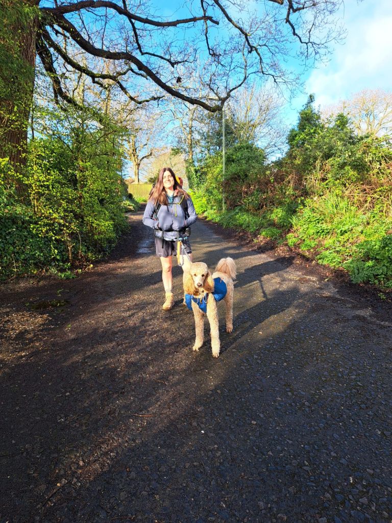
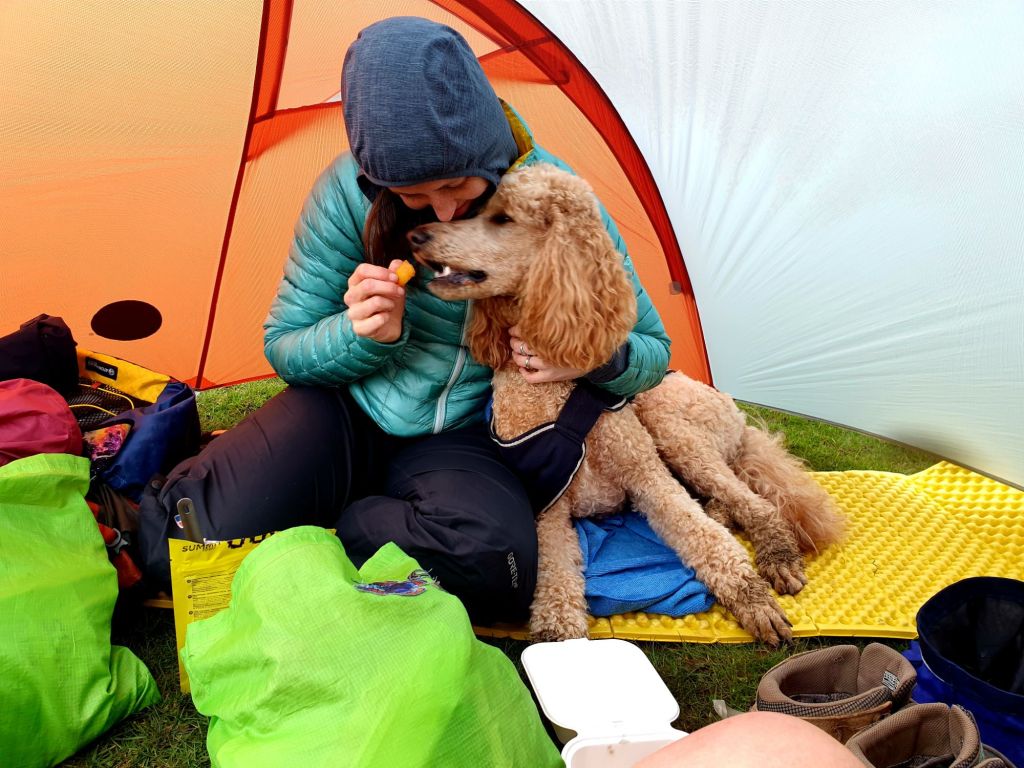
Flat Eric had made it most if the 2.4 miles walk to the ferry before Snakes decided Eric was carrying too much (4.5 days food and a small microfiber towel). She removed the towel and was then satisfied Eric could cope. Her bags were donned at the Ferry port, as were our new swanky custom Atom Packs , and we were on our merry way to walk in a big circle.
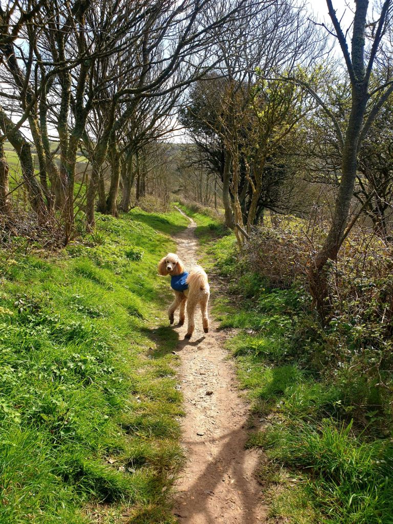
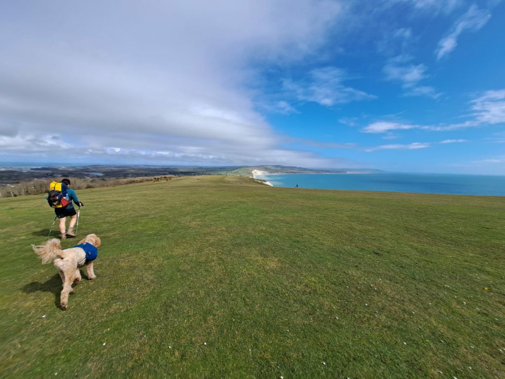
Everyone was seemingly pleased to see us, Eric made immidiate pals and poodles were aplenty. We darted down small footpaths behind houses, now lined with epehants ears and cow parsley, we made quick pace along the beach fronts and were routed up and away, then down and back to the sea a few times, as the route directed..
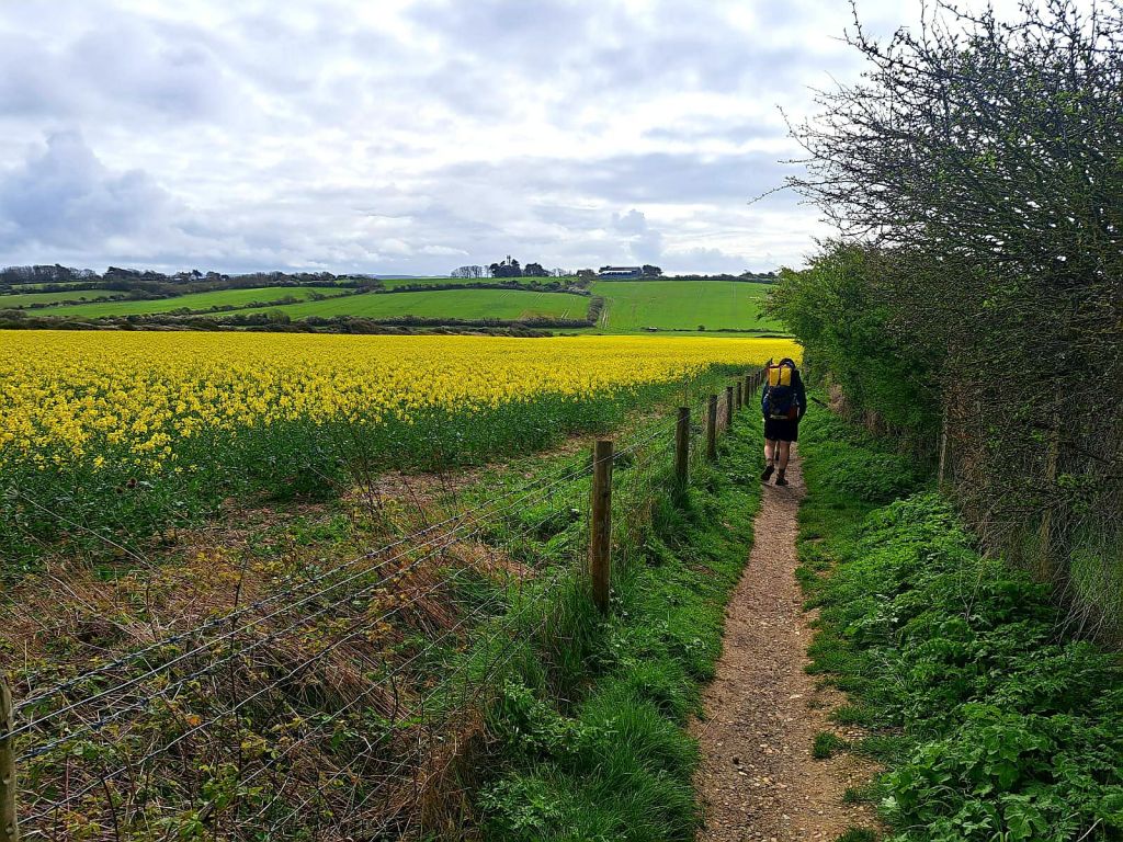
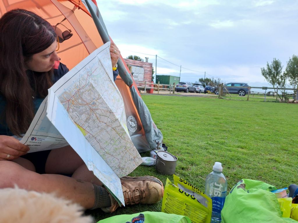
I’ve decided to do away with my phone for this trip, (save for pictures, weather updates and blogging… so not really doing away with it at all), navigationally we’ll be on paper maps, as is my preference. So easy it is now to whip out a phone and have all the joy and challenge of finding your way removed from a journey. So easy not to be lost (all though as I understand it: on a circumference of a small island, if we get lost, we’re idiots).
We were soon met with our first hurdle landslide, which was an easy re-route due to my trusty paper map.
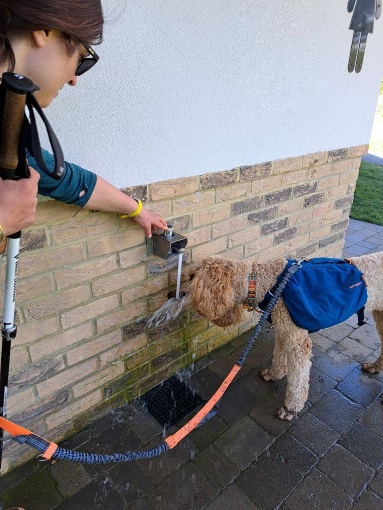
The day was heating up. Eric made use of small streams, public taps and puddle water, which all seemed to arrive at regular, welcone intervals.
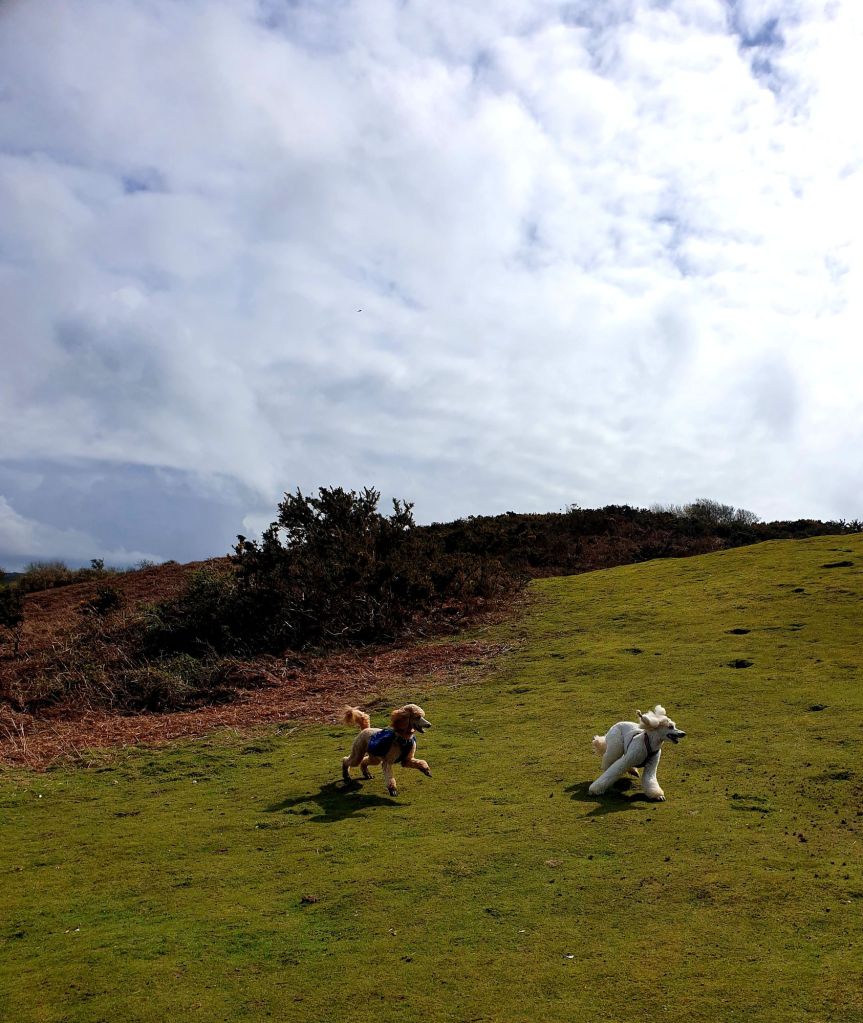
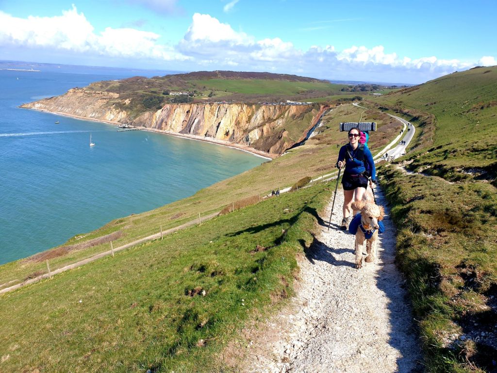
We began to climb Heddon Warren where Eric met Josephine the French poodle. We topped up water at Alum Bay before climbing up West High Down (stupid name) took in an obscured view of the not very needley needles, then continued on up to Tennyson Monument. A Spanish lady called to us from above our lunch spot and insisted she took our ‘perfect photo’ while we ate lunch.

The day was hot and bright. Snakes asked if Whales frequented the southern cost, and, ever since I told her “no, not regularly” she keeps loudly exclaiming she’s seen one. I look up every single time.

At this point we decided Eric had done enough and removed all the weight out of her bags. Then came her second stick hunting wind.
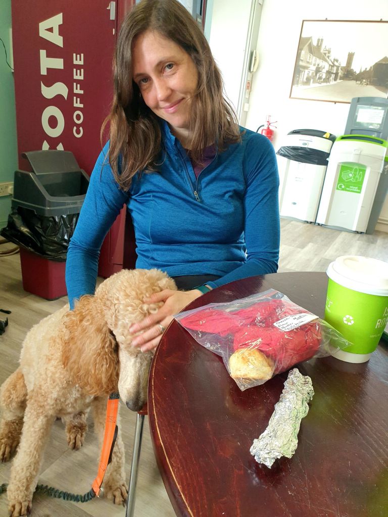
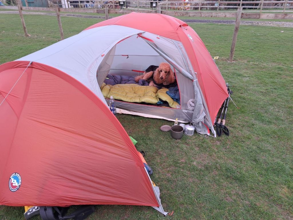
At some point we were diverted off the now closed costal path and up to the main road. It transpired that the very spot we were hoping to camp on was now in the sea. Luckily for us there was a campsite just before the landslip, with a shop that sold cream eggs, and real eggs and had a chip van.
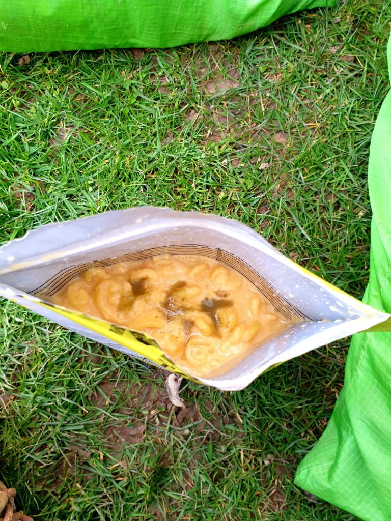
We set up camp, Snakes bought chips, I made some hot vomit and we readied ourselves for a properly awful night.
Miles on the day: 18.1
People remarking that Eric carrying her ‘luggage’ was an excellent idea: 9

Splendid blogging. Feel like you’re doing it for me!
LikeLike
How did you get by with the language barrier? Do they speak English there or did you use sign language?
LikeLike
Aged 5 , I lost my koala bear in the isle of whiteness , braklesham bay (?) i believe it was…. Perhaps you keep an eye out for it.
LikeLike
looks delightful and not as wintry as Somerset.
LikeLiked by 1 person
We tried this years ago with packs that were far too heavy (and included items such as a hairdryer), boots that were too stiff and from Ryde going clockwise. 25miles of pavement later we reached Ventnor,feet shredded and did the rest of the trip by bus! It was a laugh though 😆 Enjoy x
LikeLiked by 1 person
just loving it as always! Hope the weather blesses you with sunshine!
LikeLike