
800 miles from Mexico to Utah through Arizona
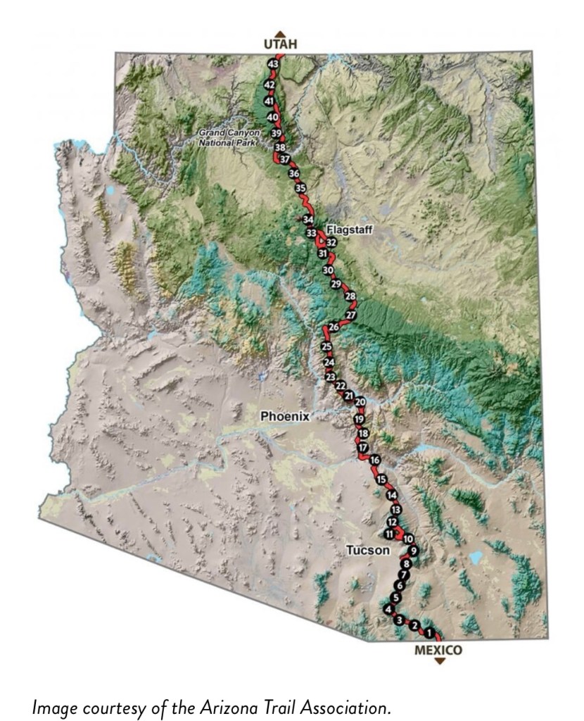
The Arizona National Scenic Trail (AZT) is an 800 mile (1,300km) long North-South trail, traversing the length of the sate of Arizona. It begins at the Mexican border, and ends at the Utah border. The trail connects deserts, mountains, canyons, wilderness, history, communities, people, and hopefully, more importantly breweries and bakeries.
In a northbound direction (my favourite direction) the trail climbs and descends from one “sky island” mountain range to another, gaining and losing thousands of feet in elevation and traversing biomes ranging from desert to boreal forest. It crosses the Sonoran Desert, the Gila River, (remember that river from the CDT in New Mexico? That’s where I got shingles. Good times). It winds through the Superstition Mountains, the Mazatzal Wilderness on its way to the Mogollon Rim (pronounced Mog-eeee-on) then on to the San Francisco Peaks. The trail the crosses the Grand Canyon, from the South Rim to the North Rim where conifer forests dominate the Kaibab Plateau, eventually giving way to red bluffs as the trail nears the Utah border on the edge of the Vermilion Cliffs National Monument. It is the backbone of Arizona.
You big fans out there will know, our last long distance hike was far, far too long ago and while we have dabbled in the butt aching world of bike-packing on the West Country Way in 2021, completed our section hike of Offa’s Dyke and took a spin around the Tour du Mont Blanc in 2022, this was really no fix for the calling Snakes has for mimicking cactus in the desert, and the addiction I have to the pure horrific thrill of bear fear.

So! Seeing as we got an almighty kick out of the sweaty feral messes we turned into in the Bootheel of New Mexico when hiking the Continental Divide way black in 2019, we’ve decided to embark on an entirely desert filled, scorpion drenched, rattle snake soaked, bear riddled hike in Arizona.
“Welcome to Arizona, where summer spends the winter and hell spends the summer”. Can’t wait.
SOME STATS
Because we love stats almost as much as gear lists.
*THE WHENS: The trail can be hiked in two seasons, to avoid immediate disintegration from the sun. Early spring (March/April) or Autumn- thats ‘fall’to you Americans (October/November)
We’ve chosen spring as wildflowers are abundant and water is more reliable, though will naturally likely still look like poop.
*THE HOW LONGS The trail is 800 miles long, it’s recommended one completes it in its entirety in between 6 to 8 weeks. We’re aiming for 6 but have 4 days as a buffer depending on the inevitable scenario in which we get too hot and need to sit down. 6 weeks will mean an average of 19-ish miles a day, but naturally we’ll need to do more than that to stack up time in those breweries and bakeries.
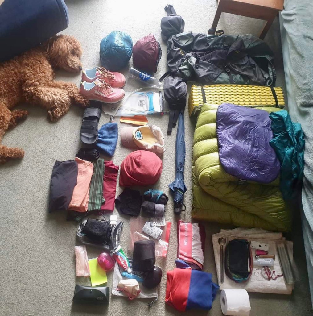
*THE GEAR: Fear not, those of you that don’t like gear lists, I’m going to do a separate post on this which you can ignore. Fear not, those of you who like gear lists, I’m going to do a separate post on this which you can savour. We’ve made a few changes, not many, but the important addition I’m told, is tweezers.
*THE ARRIVAL: The closest airport to the Southern Termiuns (our start point) is Tucson, we then an get a Trail Angel (nice person who does nice things for hikers) to drive us the two ish hours to Montezuma pass where we then have to WALK around 3 miles SOUTH to the start. For goodness sake.
* THE FOODS: Trail towns are frequent on this trail so working out a resupply strategy has been pretty easy. Some towns are on the trail itself and the ones that aren’t only require hitching a few miles off trail and back. We don’t plan to mail any boxes to ourself except possibly one right at the beginning to the second resupply spot. But that all depends on how much time we have on arrival in country (not much) and how much of it we waste in a diner eating breakfast before we start (probably a lot ) .

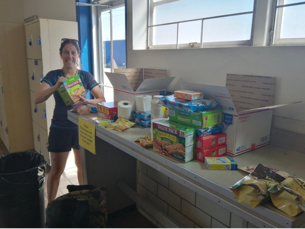
Stressful sweaty preparation to mail resupply boxes on the PCT and CDT, no one’s favourite job.
*THE DOLLAR: Although the dollar is still weaker than the pound, it’s marginal. The general rule is to allow for $1000 per month but our buffer is to allow for £1000 per month. (After flights and insurance). Our last trip saw us ridding ourself cathartically of everything we own, but now we have a house and a dog, I’m not confident that’s the right approach here. So we’ll have bills to cover too while we’re away. Call it a round £3000, which will include all the gear I’m currently saying I won’t replace, but realistically nearer the time, probably will.
Our prep so far has been minimal. 7 weeks away is far less disruptive that our previous year long jaunt so minimal life cancelling jobs are necessary. Snakes has been busy with a work promotion (a promotion which oddly allowed her to take two consecutive months off) and I have been busy with a poodle, the newest addition to our family and the only reason I’m at all reticent about our upcoming hike in Arizona. Just look at that little face!
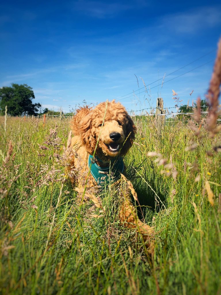

Winnie the Poodle
I’m pretty sure she’ll be fine left in charge of our home until we get back. She’s the sole reason long-distance overseas hikes will take a back seat for the next few years. After Arizona Winnie the poodle will don her saddle bags and commence training for Lands End to John O’Groats. What a champ.
March 18th we fly. I hate planes.

My friend John Kerrison, shared your adventure with me. I’m absolutely intrigued!
LikeLike
Cant wait for the next volume ..reading your adventures makes me feel both energised and sadly sedentary. xxx
LikeLike
You two know how to have adventure! Good luck to you both – can’t wait to hear how it goes.
LikeLiked by 1 person
Another wonderful adventure ahead what a life can’t wait for the the new series of blogs to come! Brilliant xx
LikeLiked by 1 person
Maps will make an appearance!!
LikeLiked by 1 person
Wahoooo more SONDER in my life !….. do you really think Winnie will be ok for 6\7 weeks ? …make sure you leave her enough food.
LikeLike