
Day 1
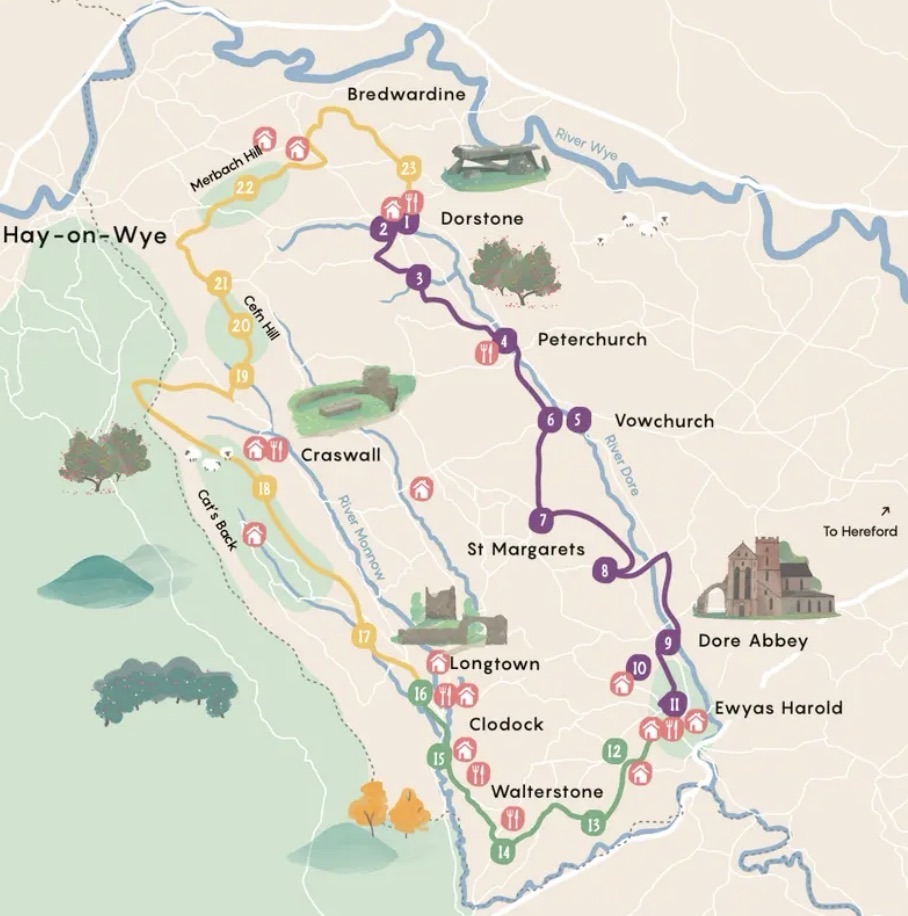
The Twin Valley Ley Line Trail is a new (ancient) trail of 44 miles through multiple historic sites in Herefordshire.
It is a loop trail, following up (or down) the river Dore and the golden Dore valley, then looping over to head down (or up) the River Monnow and the contrasting, darker Monnow valley.
Its creation celebrates the centenary of Alfred Watkins’ discovery of Ley Lines (1921), which are both theoretical and invisible straight alignments connecting historical structures, prehistoric sites and prominent natural landmarks. Originally (in the 1920’s) thought to be ancient trade links (naturally), this thought evolved (1960’s) into a popular (with hippies and modern day druids) belief that these lines represent the grid of the earths mystical energy. Additonal thoughts are that these lines serve as navigation aids or flight paths for visiting alien spacecraft.
The route explores ancient landmarks, forgotten churches, sacred stones and remote churches. It also passes some of the most stellar picnic spots and proper gem pubs, for those visiting aliens to quench their thirst.
We decided to walk this route on a whimsical last minute moment, not realising the three days we’d chosen for it would land on the first heatwave of the year.
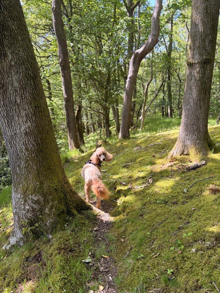
Luckily Flat Eric had had a recent buzz cut and her woollen fleece was on the lowest setting. Also luckily the walk up the valleys provided constant shade and babbling brooks for cooling off poodles.
We decided to set off late in the day as we only wanted 15 miles and seeing as we were wild camping, we didnt want to arrive too early at said camping spot. We drove the two hours to our chosen start point of Walterstone, chosen as it was the least amount of driving from our house, being that it was the most southerly point. Upon arrival we realised there were zero places to park on these tiny little welsh lanes, so pulled into the Carpenters arms, which was closed today. I explained to an employee of the closed pub that we were off on a walk, she said we could park there no problem. I told her that the walk would last for three days. She told me we were mental and said she’d see us in three days.
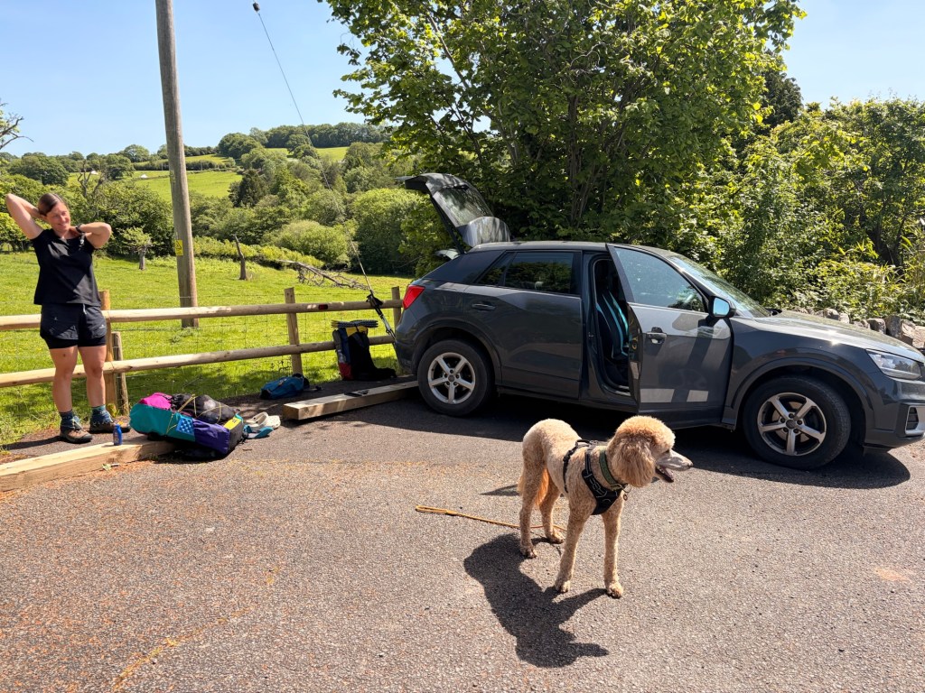
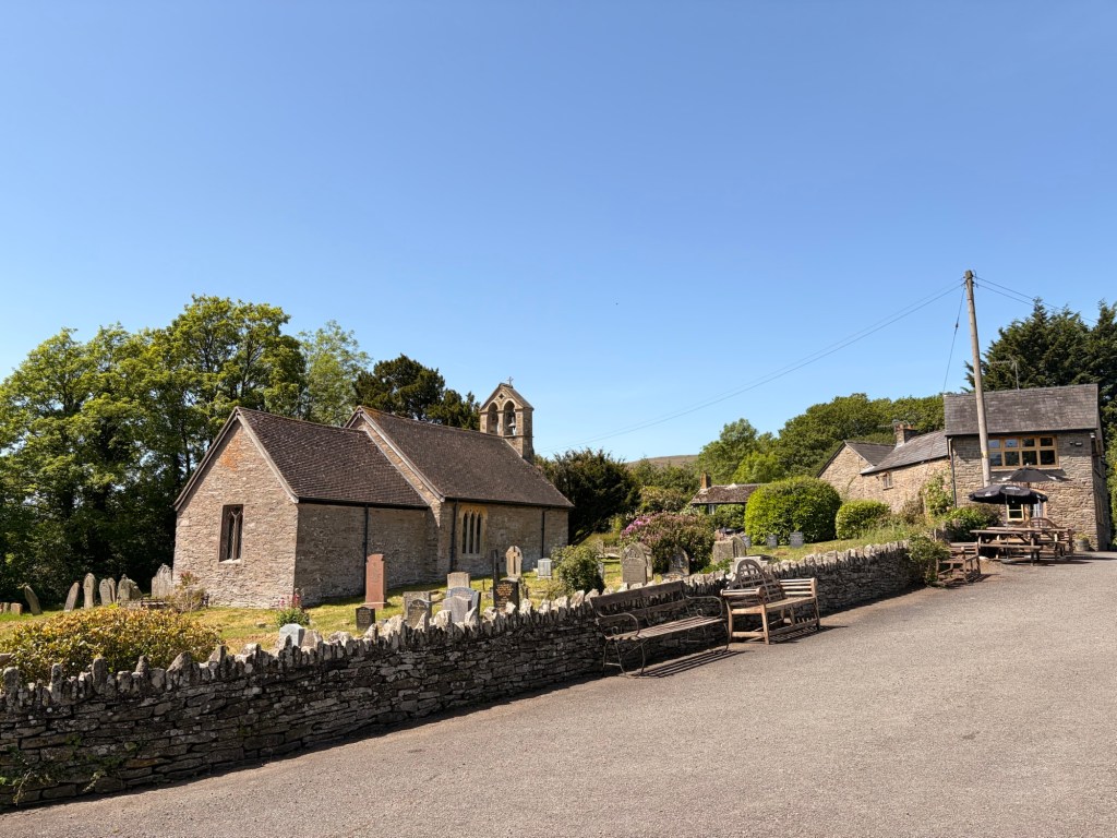
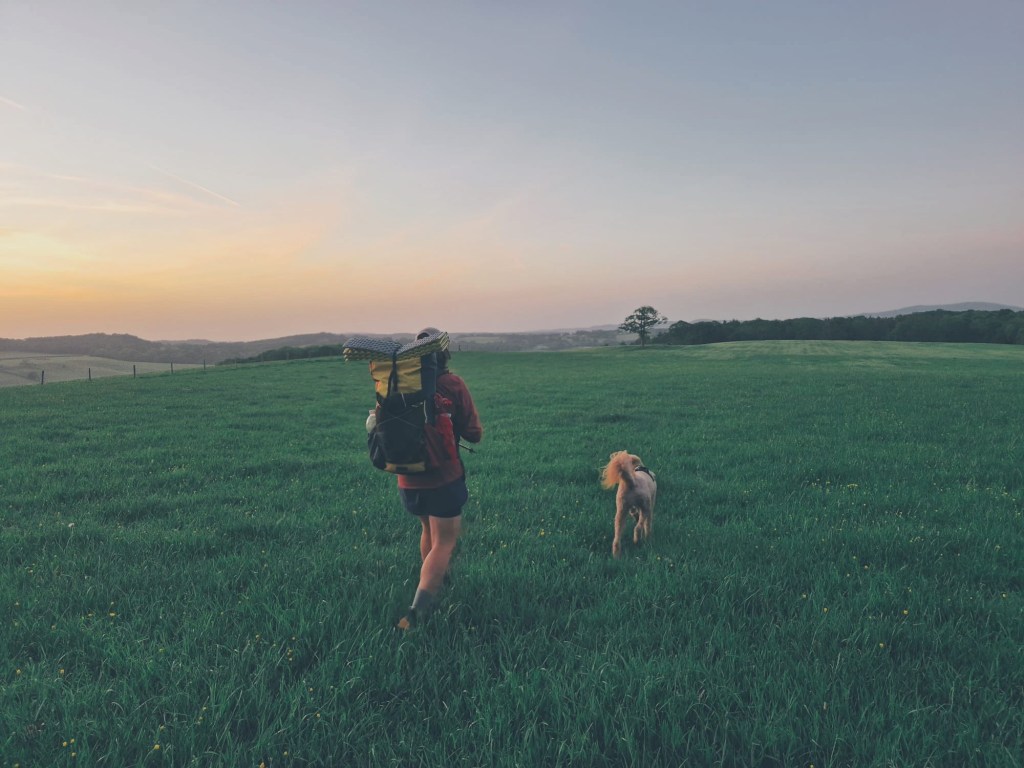
Off we went across extremely exposed fields in the blistering heat of the day . We already decided that Eric would not be carrying anything due to the heat, but even still, we were questioning whether this was a good idea. Retrospectively, it likely wasn’t. We re-checked the route and assured ourselves there would be plenty of river stops, and if we had to pause to wait out the heat of the day, we would, hopefully at a pub.
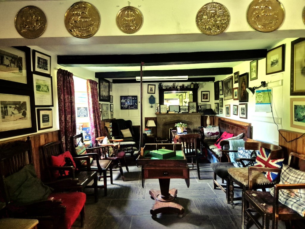
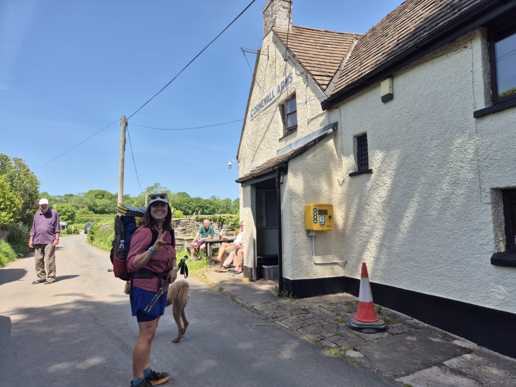
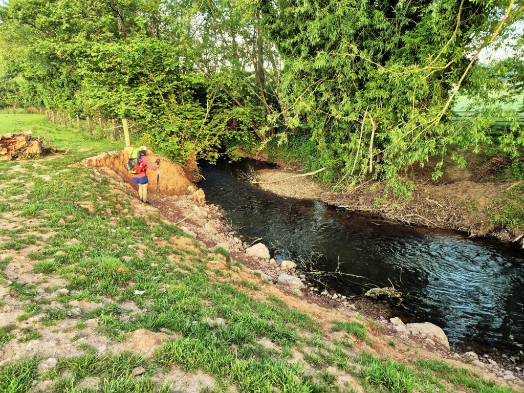
We soon dropped low into the valley and were following the river Monnow. Eric had ample drinking opportunities and we felt better about continuing. Until we reached the Cornewall Arms where we felt very good about stopping. We were a hefty sweaty two miles into our day, but this community run pub was too good a spot to pass up. We took our beers out to the river and sat under the shade of the bridge while Eric cooled off and made fast friends with some children who were throwing things into the water for her to shout about.
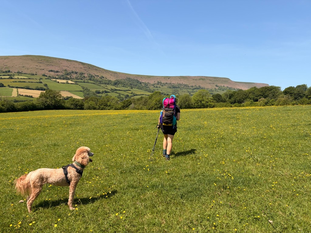
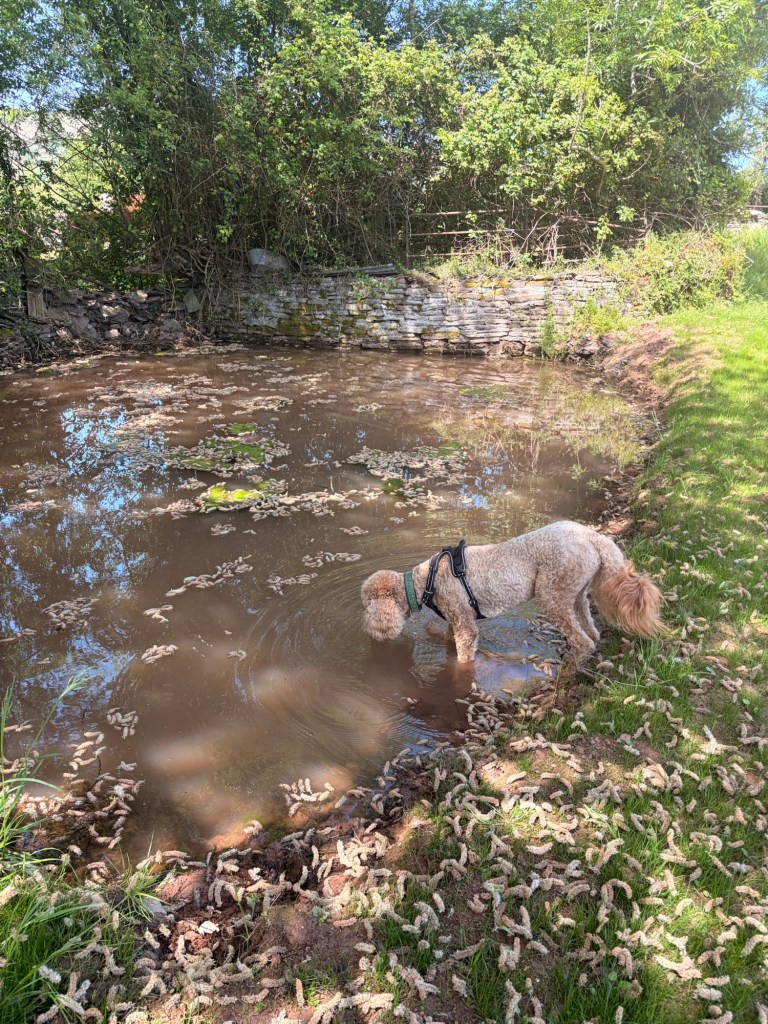
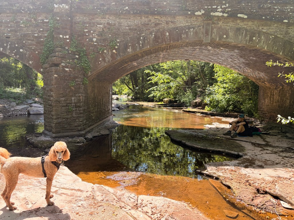
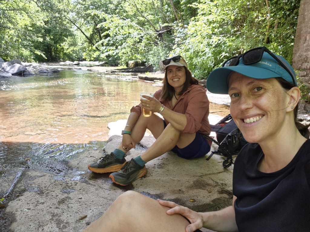
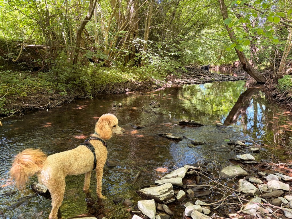
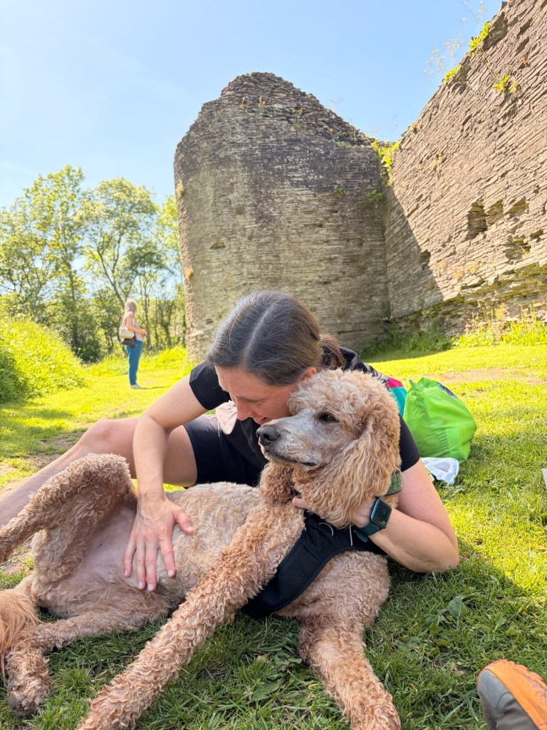
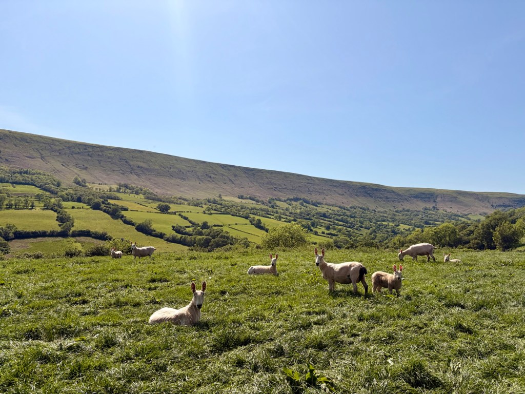
Having absolutely not earned that very premature break, we soon continued through gorgeous cheery wildflower meadows, derelict ivy covered barns and little huddles of hot sheep. Before long we arrived in Longtown and stopped for pre-prepared sandwiches at the mid 12th C castle here. The village seemed like a little secret dream, with community gardens, an (incredible) award winning shop, beautiful walking paths and a friendly atmosphere.
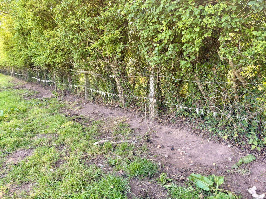
On we went, filling up with maximum capacity water at the last crossing of the Monnow today. We are now using a ‘LifeStraw Peak Series Solo’ which we bought at a nerdy hiking festival in Oregon last year. So far the flow rate has outperformed the Sawyer and I’m enjoying its fun colour scheme.
From here we would be passing a little remote church, with no guarantee of a tap, then ascending on to the waterless ridge at Cat’s Back. We weren’t exactly sure where we’d be camping so took about a million litres with us to make sure we had enough for all the essentials, like tub time and morning coffee.
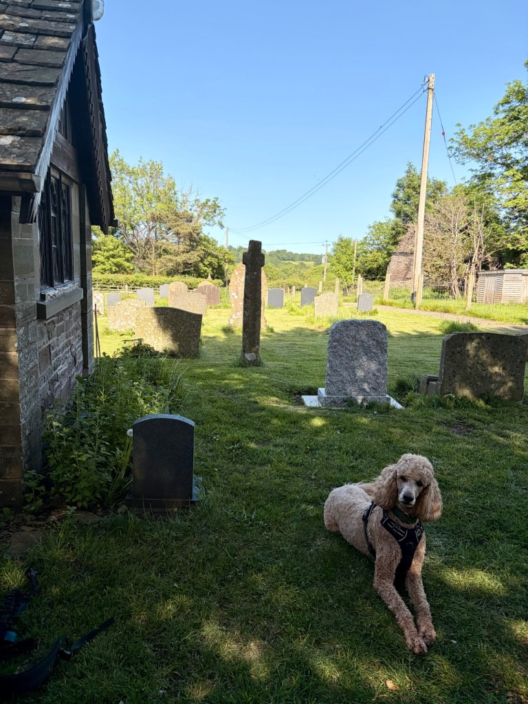
We clambered up and out of the valley, into the late afternoon sun and took shelter in the cool, cool church at Llanveynoe (no tap). Churches have fast become good pals for us. It satisfies me to ensure their use of shelter to the weary pilgrim remains a part of its modern useage. So often we can top up on water (where taps allow) sleep in the porch, or merely use the cool shade to rest. Entirely as it should be. We plugged on now, uphill towards the ridge we once walked when Offa’s Dyke was our trail. We took a break in a tiny patch of shade at Cat’s Back car park and looked at the shadeless climb ahead. It was 5pm. We decided to wait a bit. I fell asleep. It was nice.
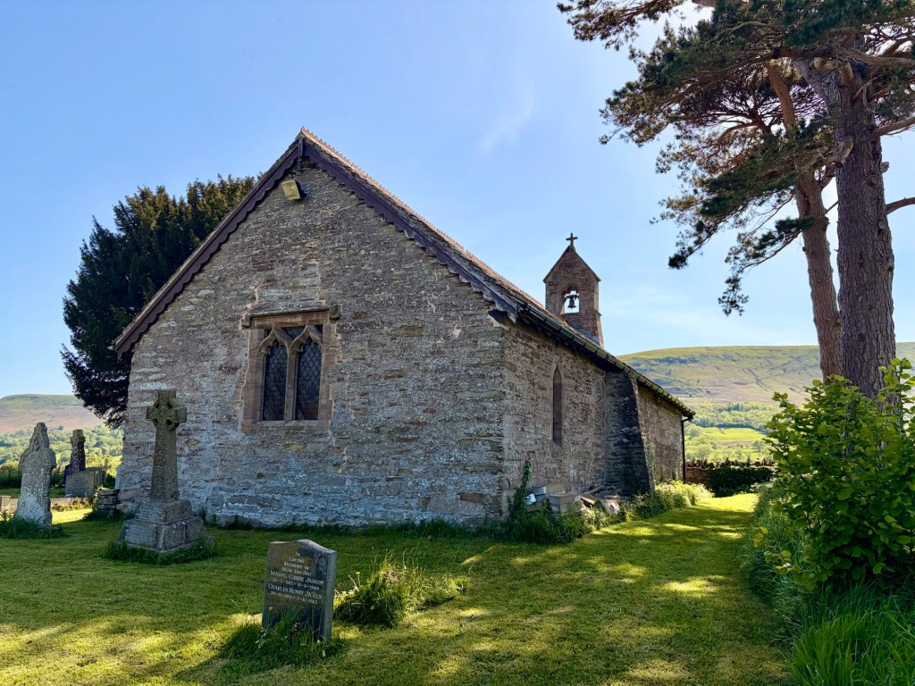
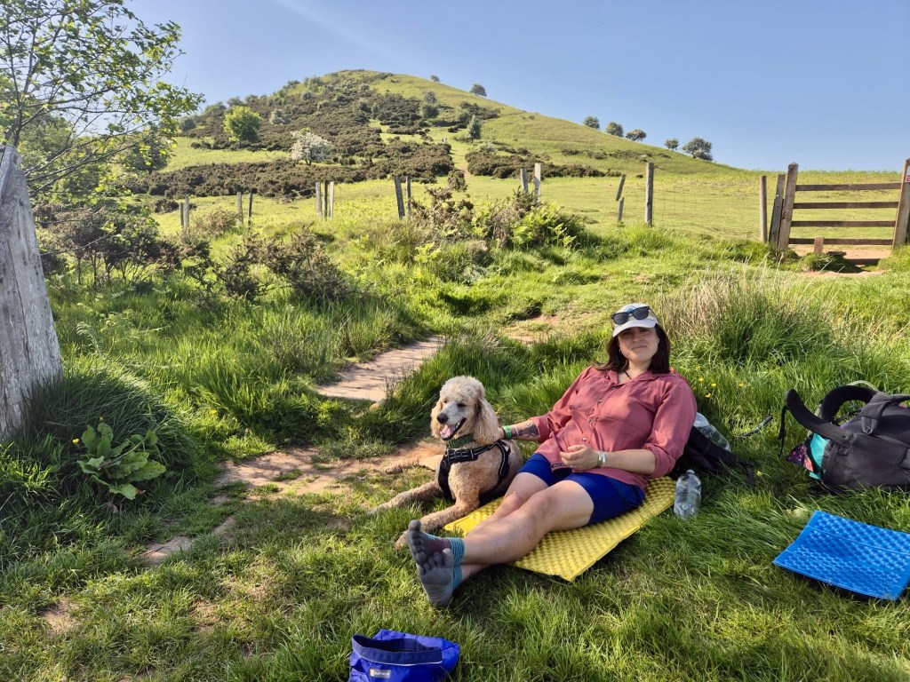
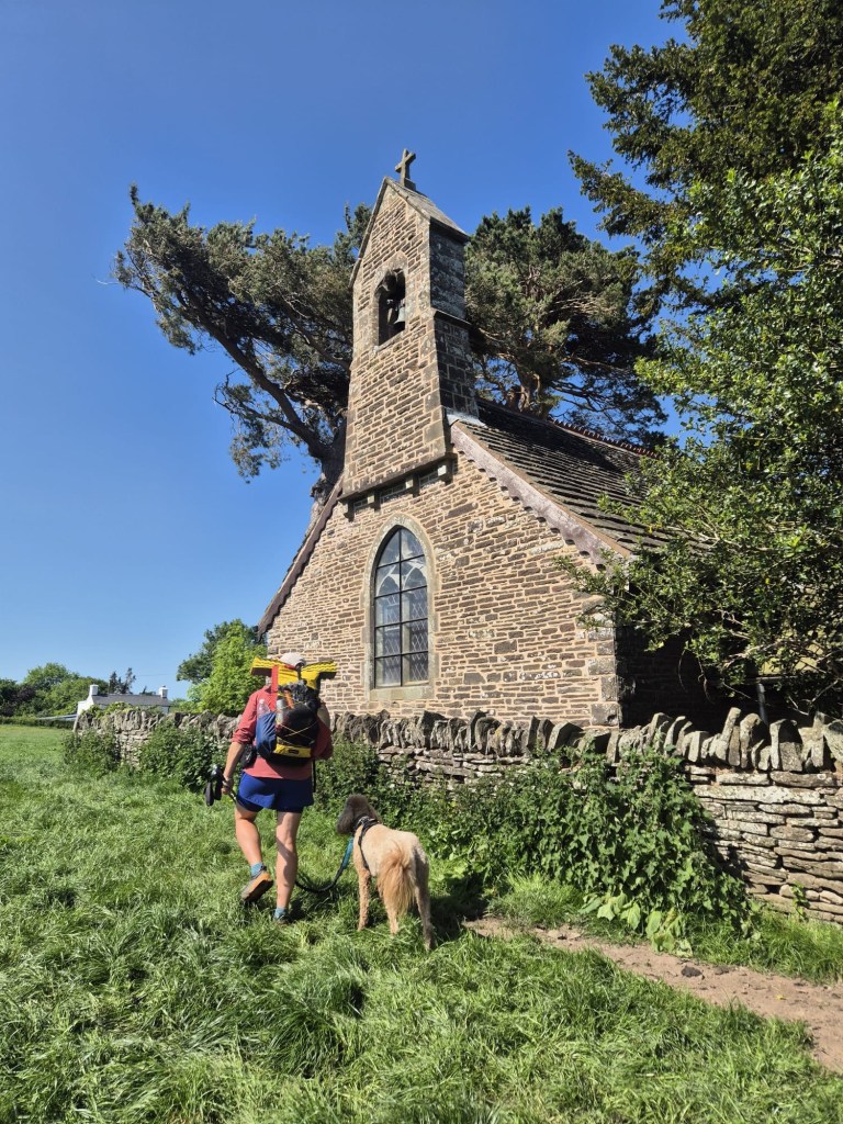
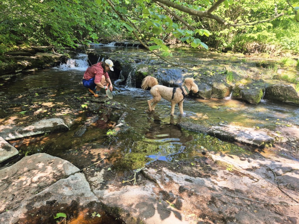
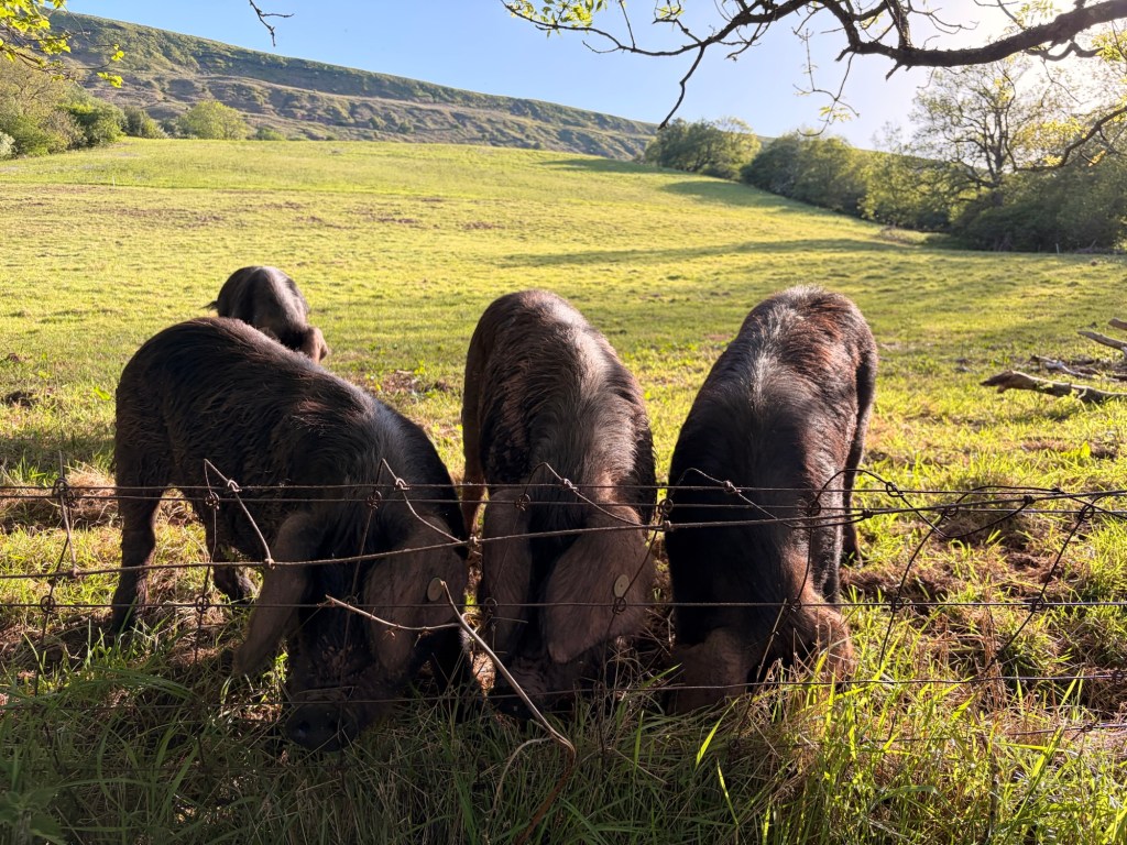
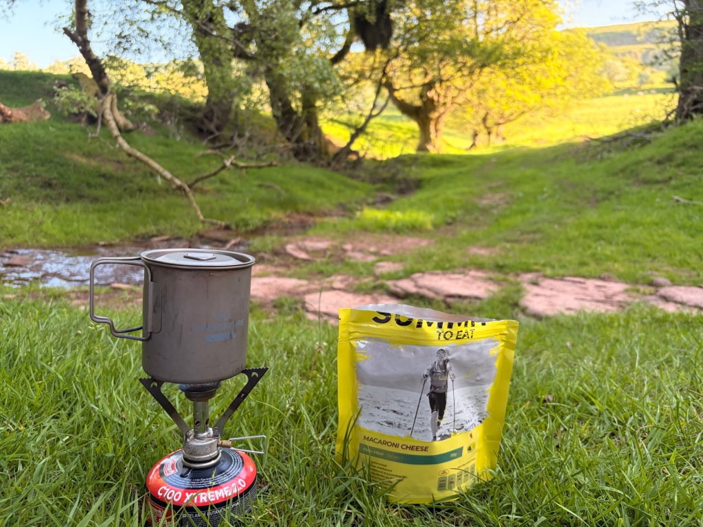
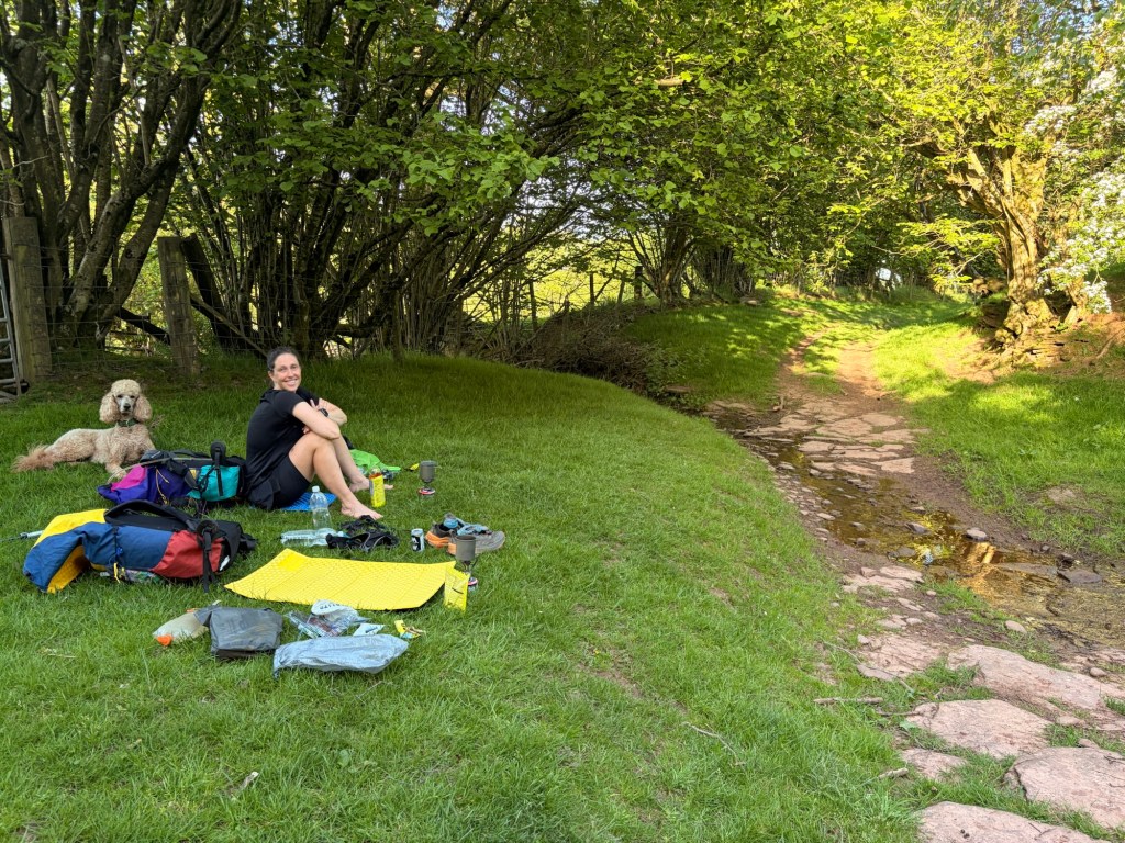
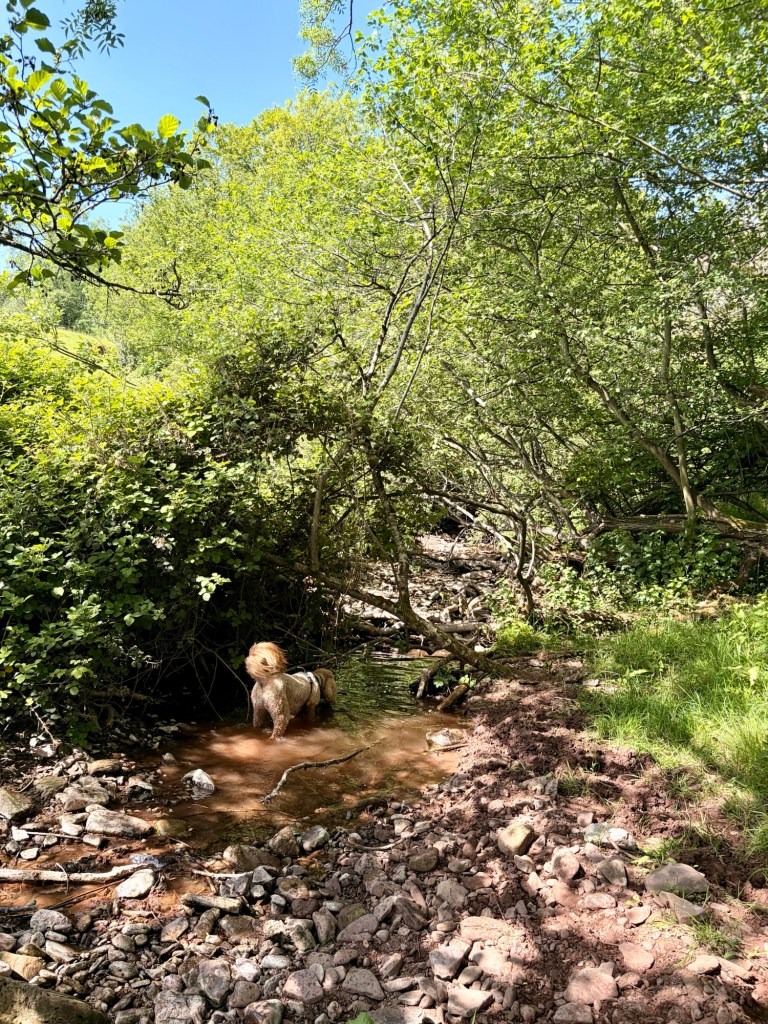
After a nap, a snack and a bit of re-hydration, we decided to keep to the lower path beneath the ridge. Here were options of poodle cooling springs, which we wouldn’t find on the top, and much more in the way of shade, also improbable on the ridge. It was absolutely the correct choice and Eric made use of every (of which there were many) running streams and puddle to cool her little shoes off and take sips from the running elixir. At 7pm after passing some cute little pigs we stopped by a stream and made dinner. Dehydrated meals and a very cleverly planned tin of Merlot.
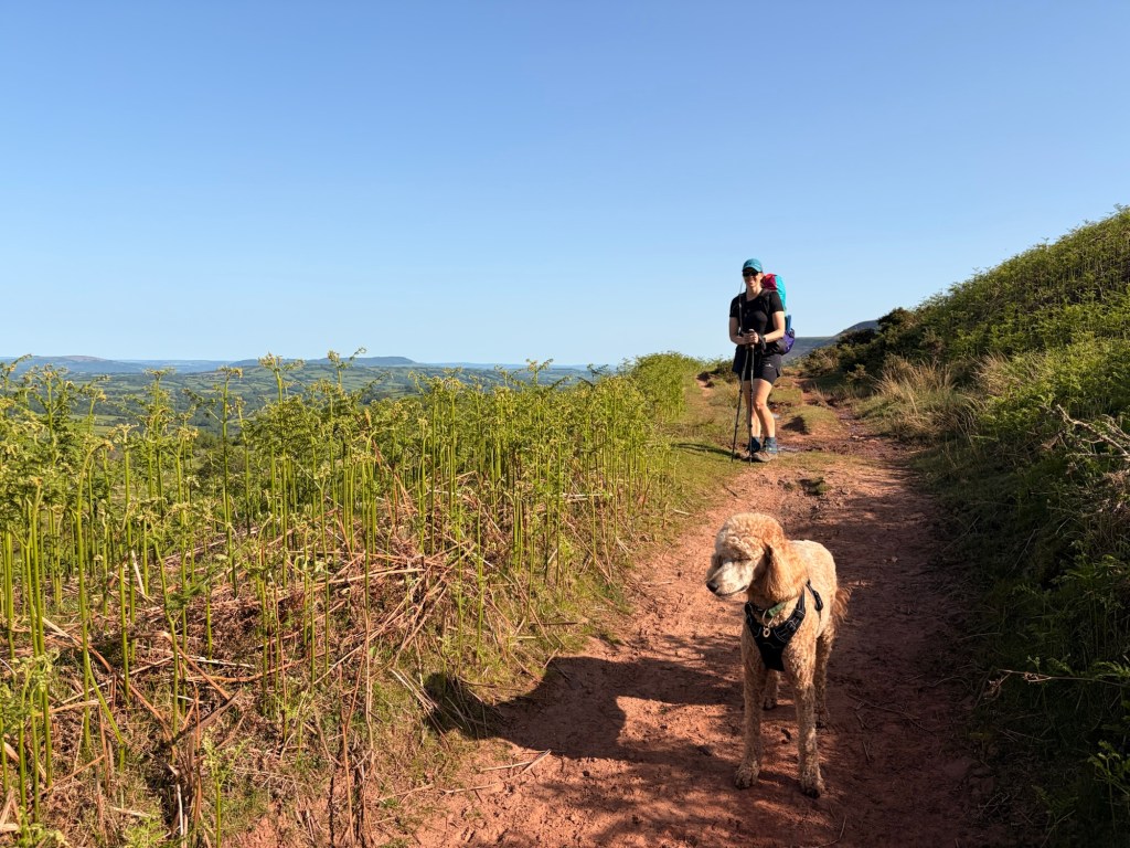
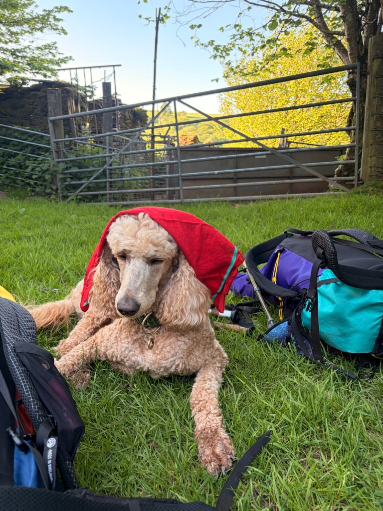
Before long, we continued up the valley beneath the ridge and joined the spot where we would have descended off it. Now at the top of the first valley (Monnow) we turned East and past a campsite, on which it not only would have been very easy to legally camp, but also to top up on water. Oh well, I suppose carrying 25 million litres up a hill during a heatwave was good fun when you think about it.
Legal camping is not what we were here for, and we did want a few extra miles, so we continued on, steeply down and then even steeply’er up until we were back on CRoW land. This refers to the ‘Countryside and Rights of Way act, whcih was passed in 2000. This act gives the public a legal ‘right to roam’ on designated open access land. Usually mountain, moor, heath, or down. On your trusty Ordnance Survey map, this will be marked with a swath of orange tint – it means you no longer have to be penned in by walking strictly on paths but can effectively walk wherever you want without it being considered trespassing (so long as you’re not being a nob).
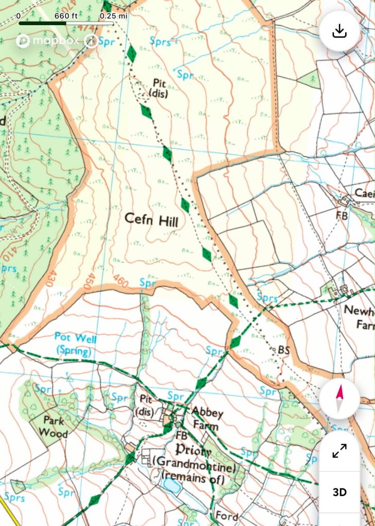
This differs slightly to the Land Reform Act in the (far superior) Country of Scotland which grants a statutory “right of access” to almost all land and inland water, this alllows you to walk, cycle, climb AND CAMP responsibly across most hill, moors, forests, beaches and no-crop farmland.
In England CRoW land is all still privately owned and camping is only legal with the landowners permission. Depending on where you are though, you will find little difficulty camping on CRoW land when you are camping late, rising early, leaving no trace and generally not being a massive twat regarding fires, dogs, livestock and litter.
(The only exception to this is on Dartmoor where on much, but not all, of the moor wild camping is LEGALLY permitted without the land owners permission. There is a swanky interactive map you can use to see exactly where this is allowed. The general rule of not being a nob still applies here).
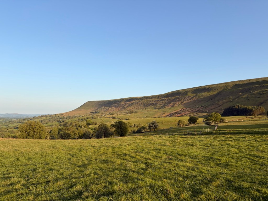
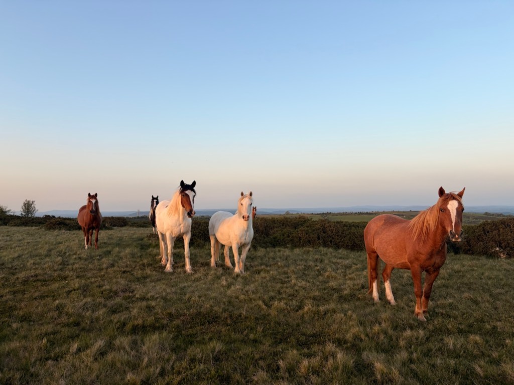
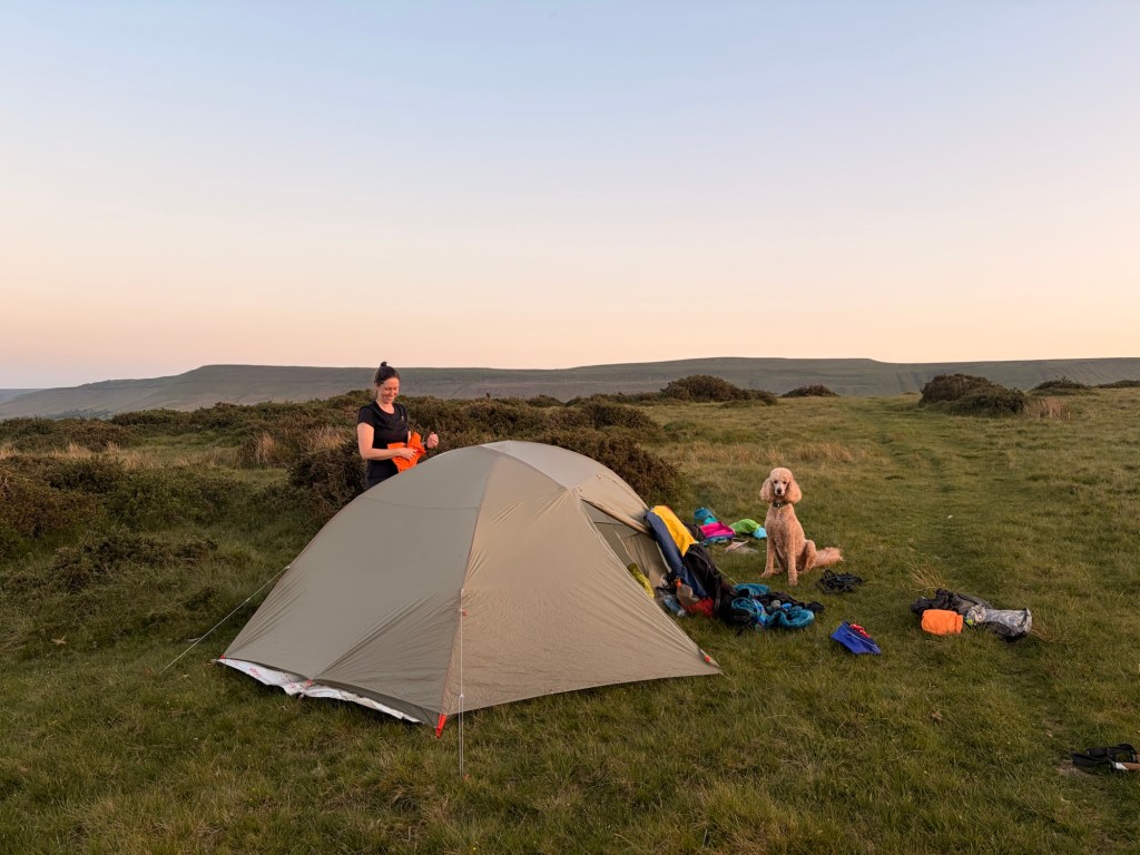
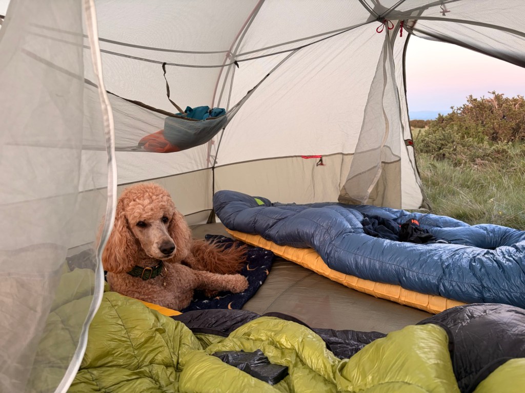
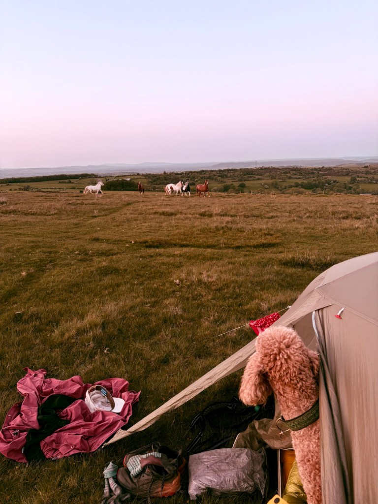
We arrived atop Cefn Hill and easily found a flat spot to set up. Eric immediately collapsed on her bed in the tent and only surfaced to pull faces at the horses which had come to investigate our motives. We had a very necessary tub time and made hot chocolate before bedtimes. What a perfectly agreeable day.
Day 2
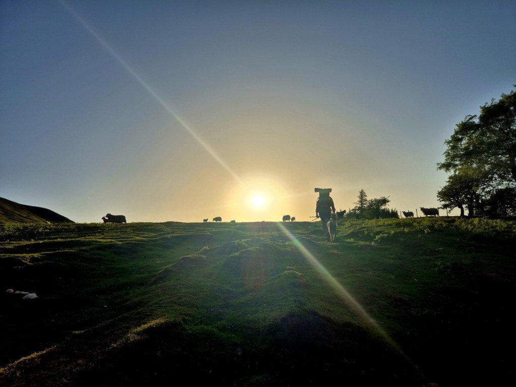
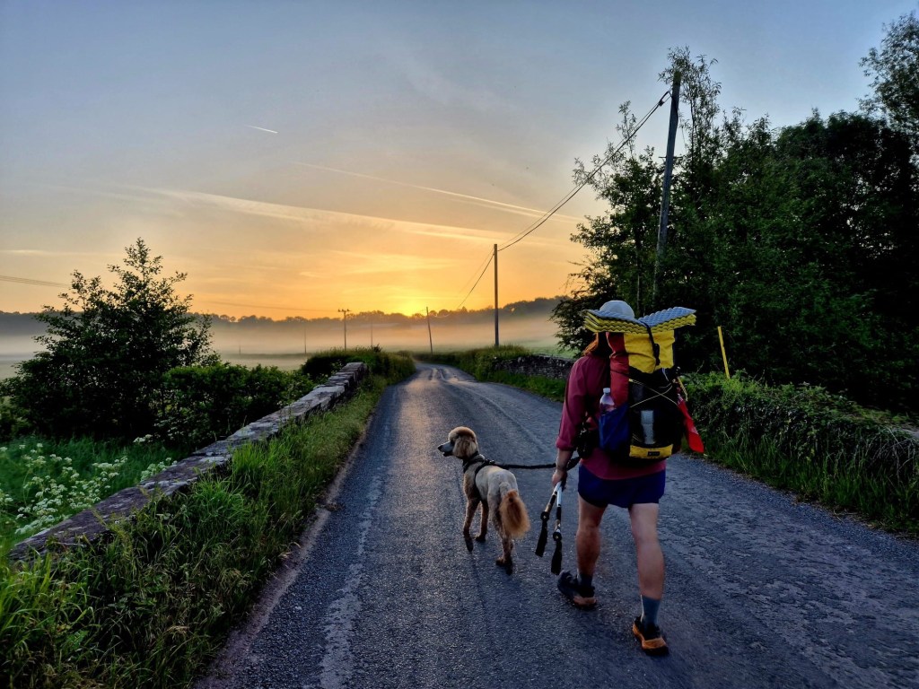
Off our alarm went at 4:30am. Today was to be as hot as yesterday so we wanted to get a cool (20 degree) jump on the day. What a morning it was. Skylarks were larking and after a 20 minute pack up we walked north with the sun rising over our shoulders.
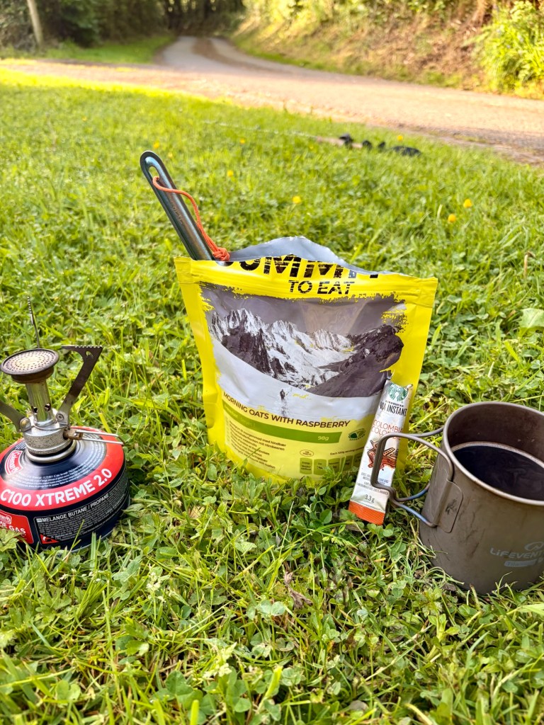
We were on the top section of our loop now and the morning saw us traversing some knolls and following little country lanes to the sound of the unfathomably loud dawn chorus. Five or so miles in we stopped for breakfast outside a swanky wedding venue cum campsite. The morning campers had yet to stir so I took this opportunity to use the immaculate facilities, which included a wonderfully rejuvenating face and hand wash, I disposed of our supply of rubbish and topped up on water. More dehydrated food for breakfast and meat tray for Eric, we powered on now fully charged.
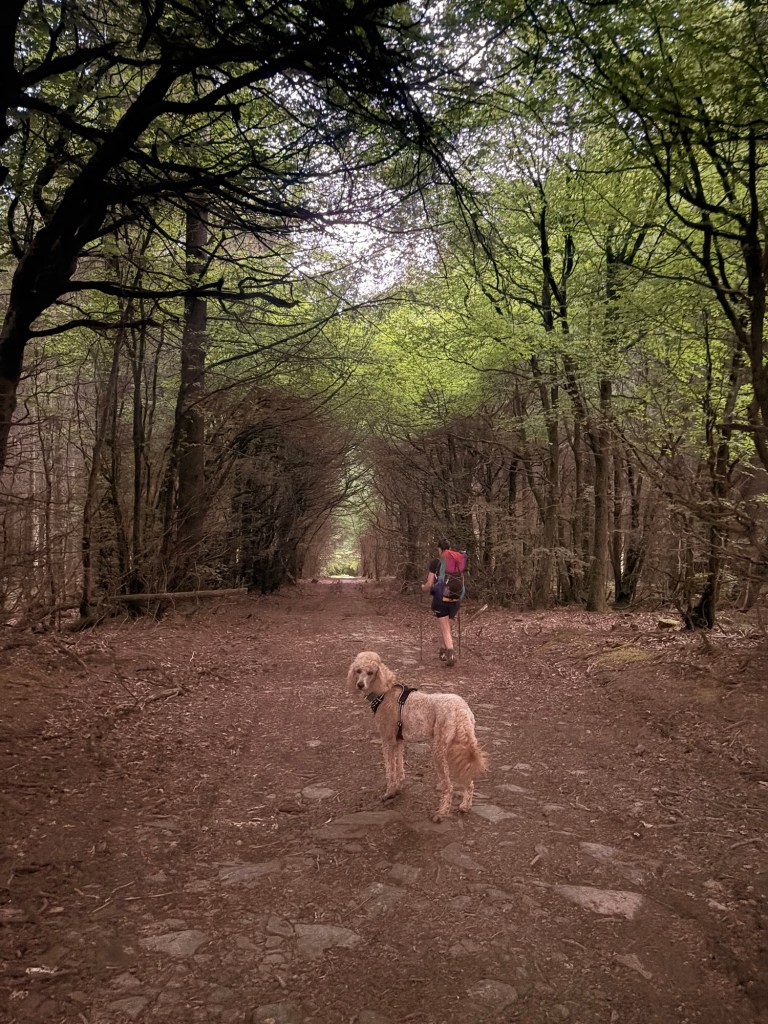
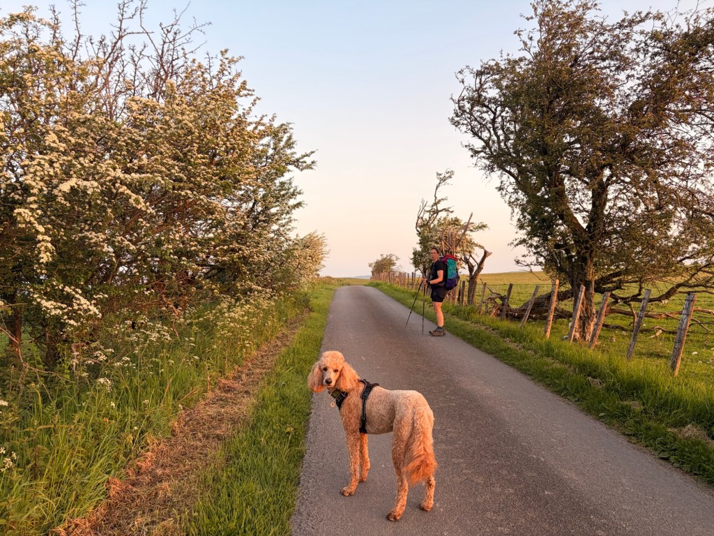
We climbed a hill though the tress and exclaimed how lucky we were with the amount of shade and water on this walk so far. The day was hotting up a treat. the top of the sweaty woodland climb rewarded us with a lovely view across the low farmland below and all the way to the ridge from whence we came yesterday. Here while having a little break, we realised it was a bank holiday and the shop which we were aiming for at the end of our day for a resupply, was on reduced hours. It was 6 miles away and closed in a couple of hours. Bugger. Now our saunter of a day in which we hoped Eric could wait out the head at lunch time turned into a bit of a race.
BUT, we weren’t in so much of a hurry to rush past Arthur’s stone. The tomb dates from 37000 BC. Like many dolmens across the country, ‘we‘ don’t actually know the purpose of these structures as, it being pre-history, many beliefs of their uses are linked to comparison sites across the country and artefacts found on site. Accent ancestral ritual sites are more probable than them being burials sites. Naturally the link to Arthur is as tenuous as referring to ley lines as alien landing strips, but legends and burial chambers are, like aliens, more fun than just a bog standard ritual site.
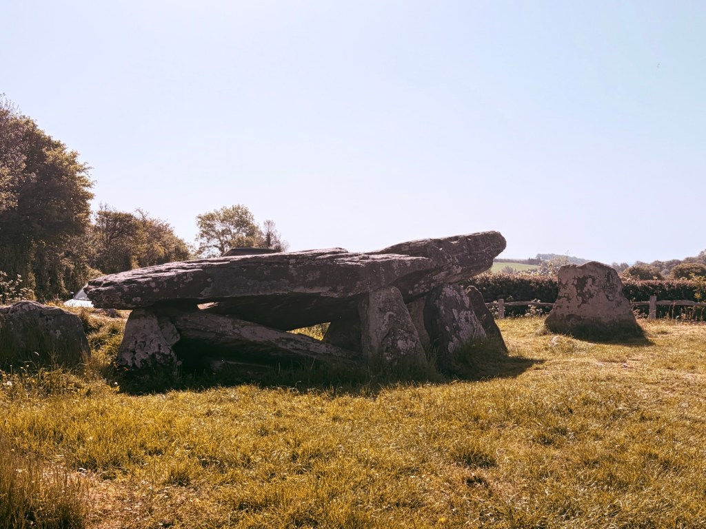
Downhill now and then a motor through lovely fields and meadows, to the picturesque village of Dorestone, but not before we took refuge in the porch of a church for some much needed hydration. We were now in the Dore valley and would be following the River Dore on and off until near the end.
Flat Eric had a cool off in the stream here, and demanded we play her favourite game of throwing things in the river while she shouts aggressively at me demanding I do it again, forever.
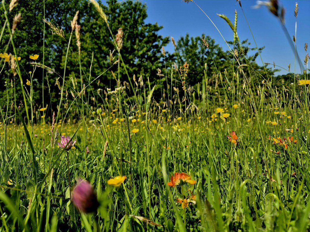
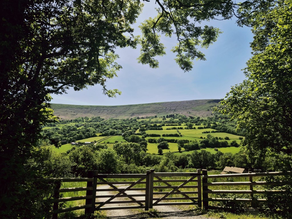
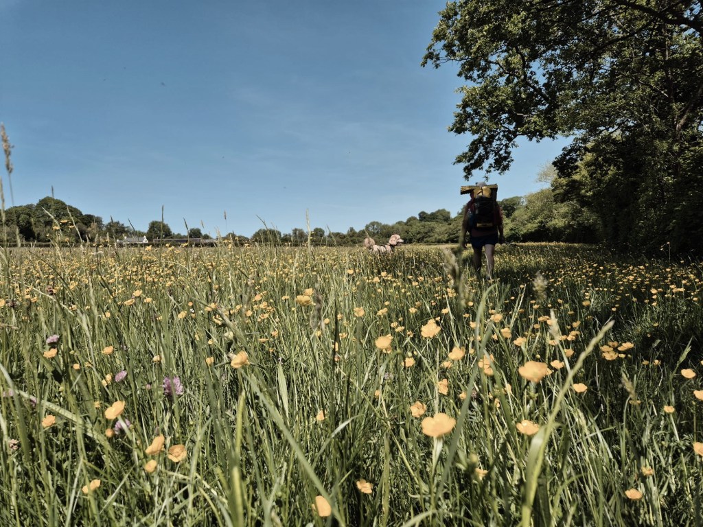
After waking up the village with Eric’s loud moth, we motored on and made it to Peterchurch before closing time at the shop. I dumped Snakes, Eric and my pack at the pub and chugged it down the road to the shop in the blazing relentless sun. Here I arrived at the most impractical Nissa local I’ve ever experienced. Why do these stores have to be so awful and depressing ? Why to they all have to sell plastic sandwiches, microwave burgers and shitty cardboard refrigerated pastry items. It was also the worst layout, you couldn’t fit two people in one isle , of which there were two, and a queue of hot and frustrated people formed at both ends of each one. I bought a load of crap I didn’t want , and a beer for the 8 minute journey back to the pub.
Back at the Nags Head, I found a disgruntled Snakes who was ‘livid’ at the menu which had “no vegetarian options AT ALL”. I pointed out she wasn’t a vegetarian and went in to order her some fish and me an omelette (which was vegetarian). The pub was limited and the food was basic, but the staff were extremely friendly and after we hung out for 5 hours lounging about on the grass, spreading out progressively more and more in their pub garden, they told us we could pitch our tent there if we wanted to.
We stayed through lunch, stayed after they closed and were still there when they reopened at 4. The sun was broiling, it was still 30 degrees and we didnt want little woolly Eric walking in that. We’d completed most of the miles we wanted for the day and agreed to limp out when it became cooler and find somewhere to camp.
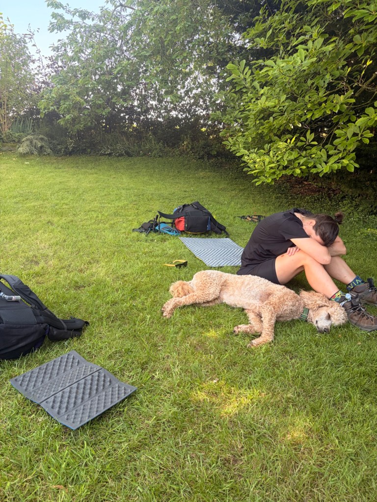
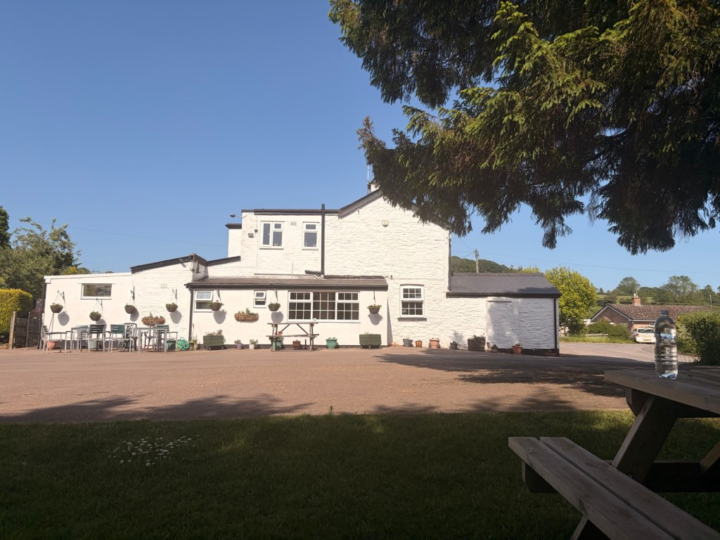
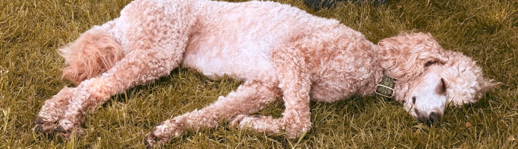
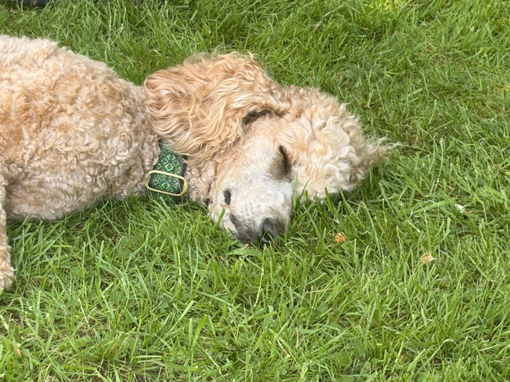
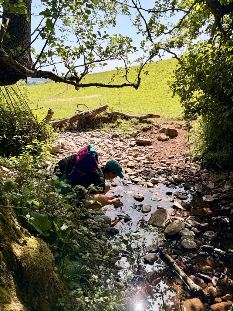
After we eventually peeled ourself off the lawn and set off, we agreed to just stop in the shade after every mile. The first one came quickly and we stopped at a river , which was just deep enough for me to wash in. HEAVEN.
We followed the river along sunny fields and witnessed a farmer and his dog which was charging about the field after the sheep (the dog, not the farmer.) He came over (the farmer, not the dog) and I asked him how his dog copes in the hot weather working so hard – he told me he doesn’t cope well and suffered a bit of heat stroke the other day.
Right then.
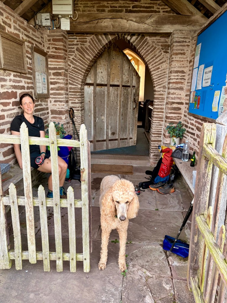
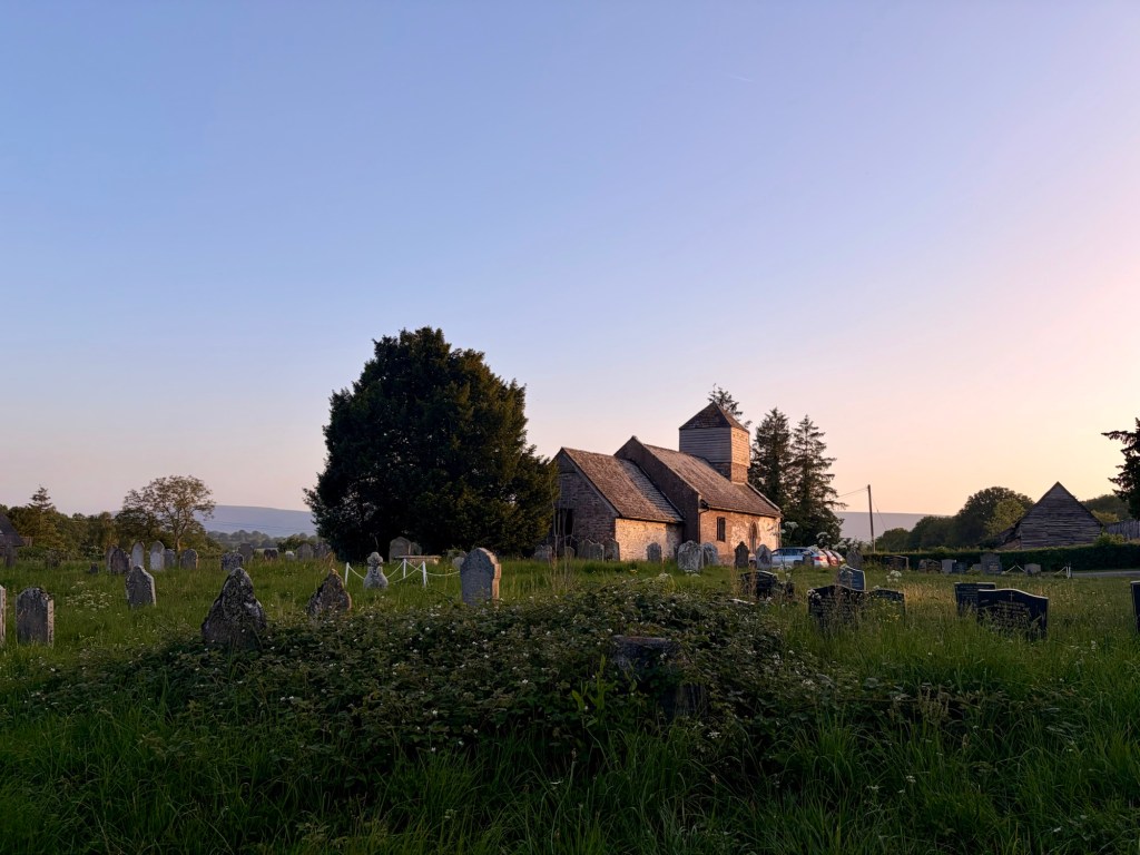
We carried on through verdant fields and humid woodland, stopping to give Eric his fodder and cooling off as we went. It was a beautiful evening and the going was really good. We stopped for dinner at St Margret’s church in the tiny village of St Margaret’s, If you’re ever passing, (which you wont ever be) this little remote church is worth a go. We took shelter in the cool of the porch and Eric cooled her tum on the stone floor. Before long, a local from a house opposite came by and asked if we wanted s cup of tea, we didn’t and we told him as much. He stayed and chatted with us for a bit, Nice chap.
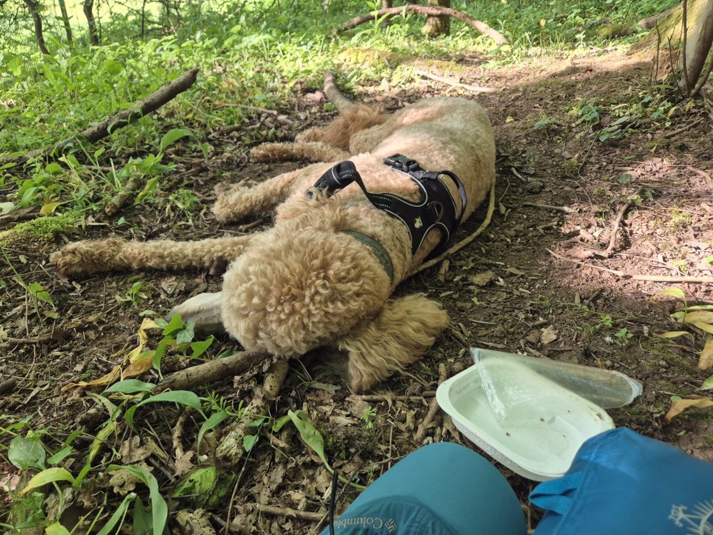
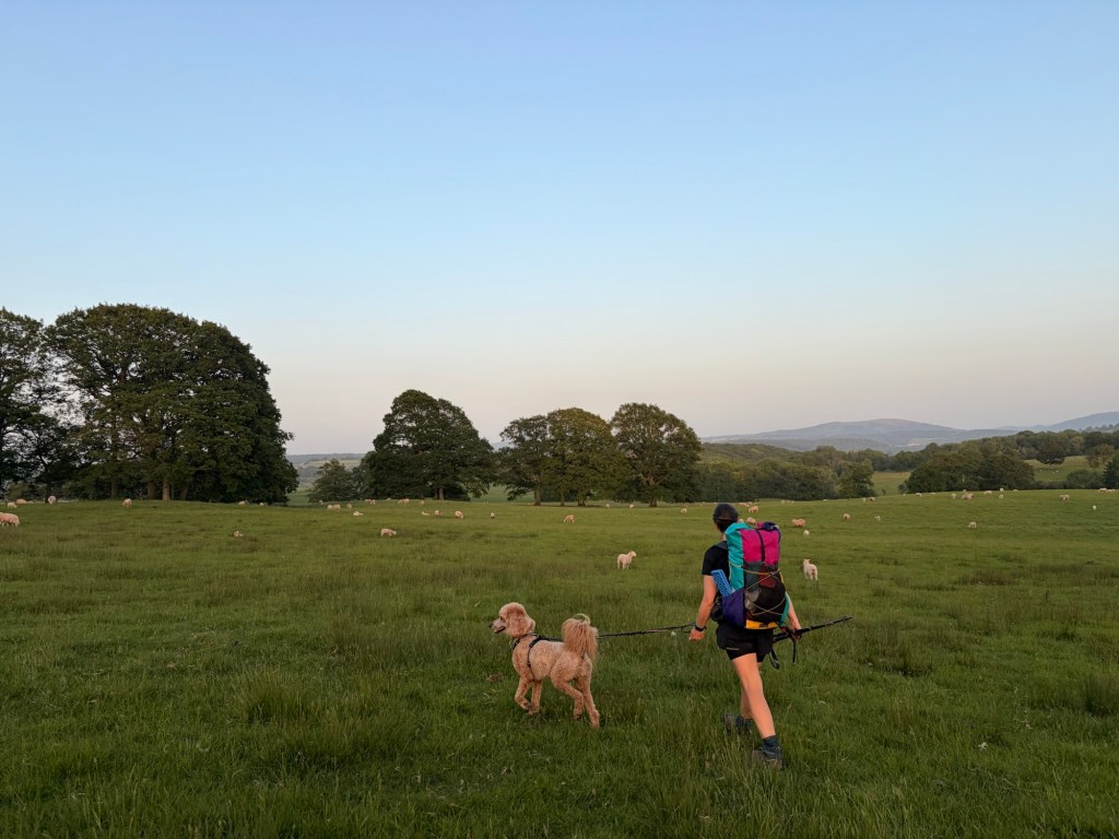
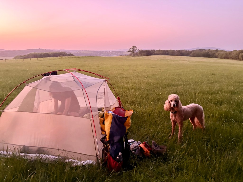
After a good feed of dehydrated food and a nice little bottle of Nissa Locals finest Merlot, we set off once again. After passing a couple of farms we were soon out in the fields once more. We hurdled a few styles and found a secret spot in the field behind some tree.
With the tent erected Eric was immediately inside and folded up sleeping on her mat. Snakes and I performed tub time donned thermals (why the hell did we bring thermals to camp in a heat wave?). I think I was asleep before my head hit the pillow.
We woke early , to leave early and avoid any “get off my land” nonsense, although everyone wed met seemed so nice I imagine we’d have just been offered a cup of coffee if we’d been spotted.
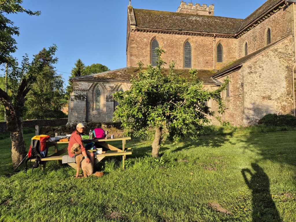
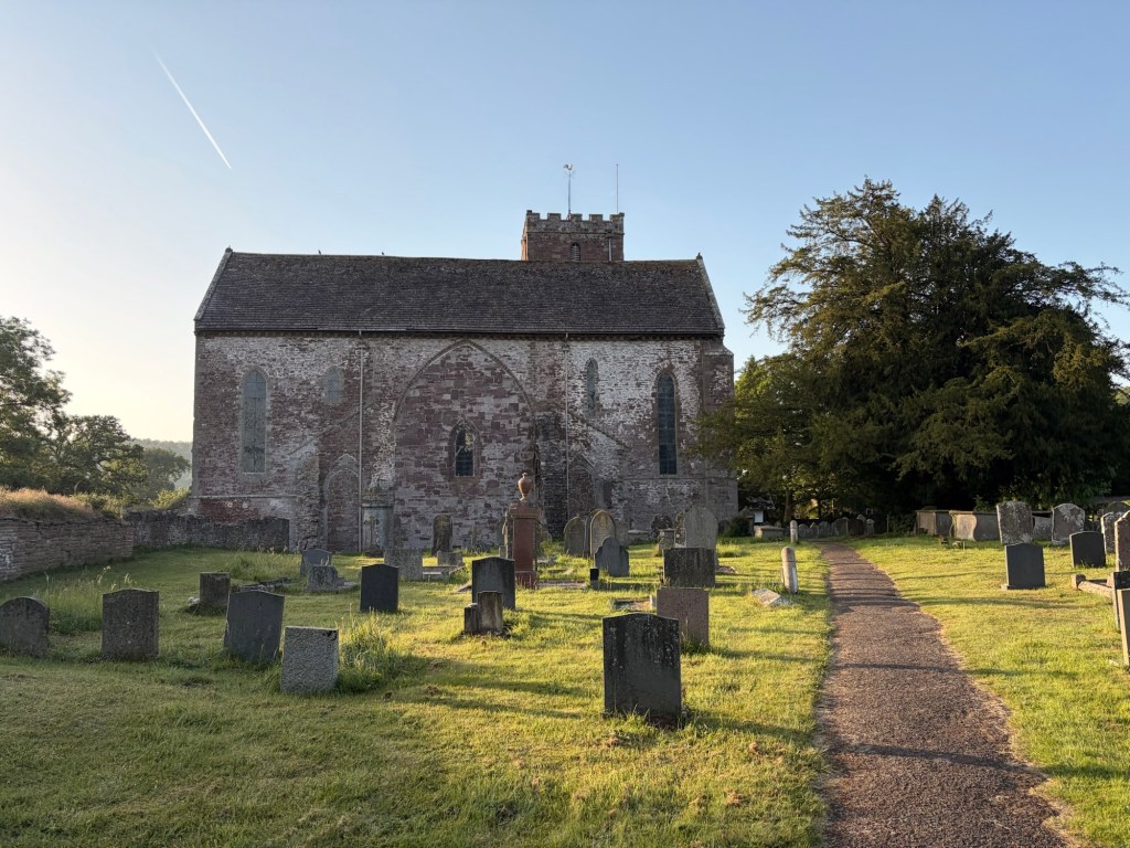
We had around 11 miles to do today so took our time. After 4 miles of gloriousness strolling along the quiet cool lanes and a secret orchard we dropped into the village of Abbey Dore and specifically and also confusingly Dore Abbey, a Cistercian monastery founded in 1147. It was a beautiful morning, around 7am. We’ve taken to doing a full lap of any historical site, and found some picnic benches and a tap at the back of this one. We made coffee and ate gloopy breakfast. We were in no rush.
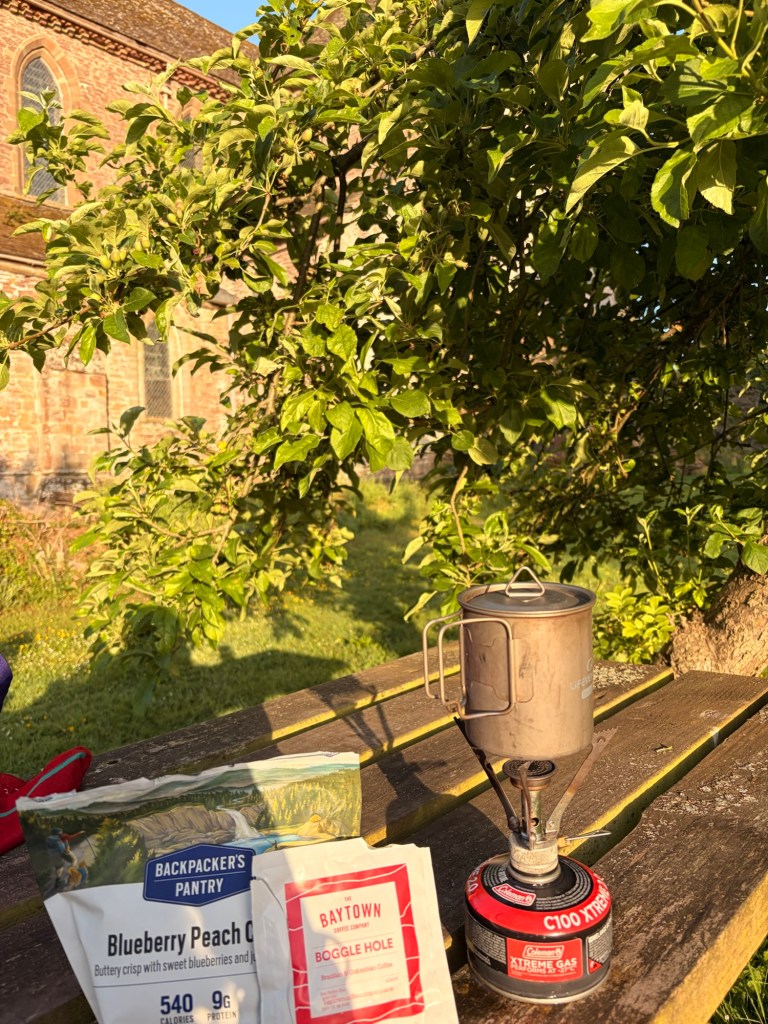
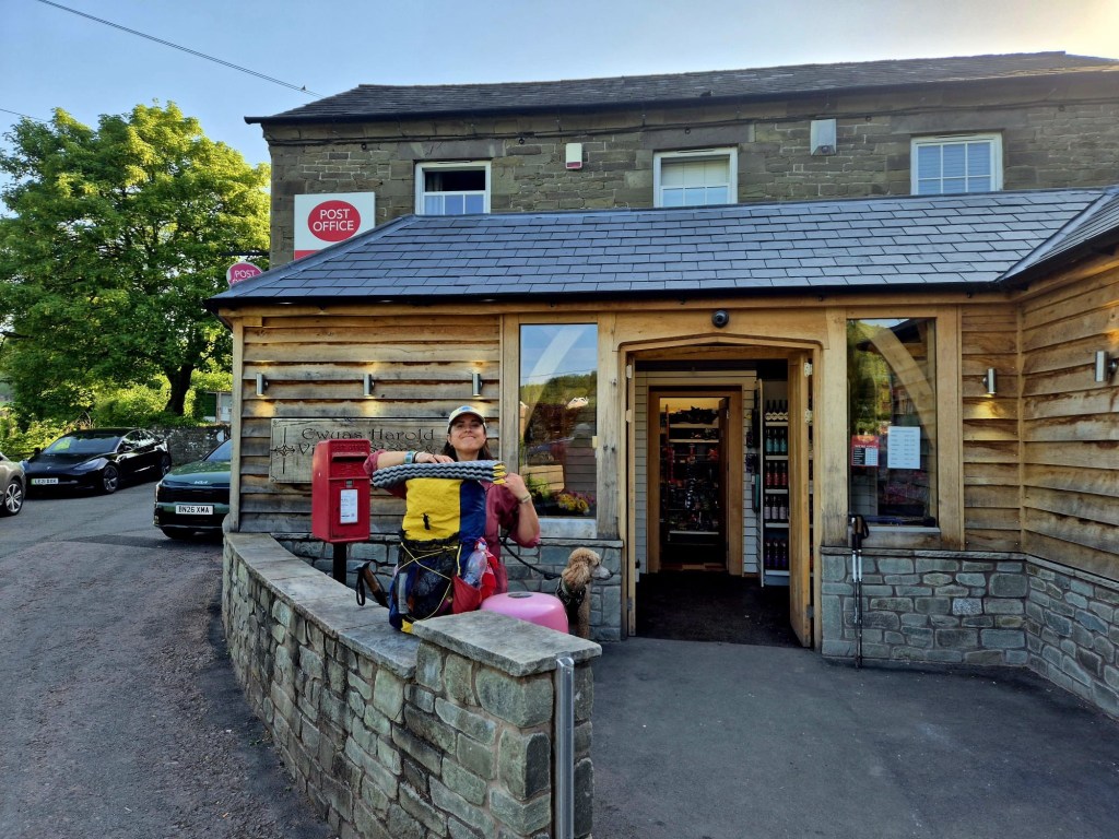
After a leisurely breakfast we climbed a short, sharp, hot hill onto Ewyas Harold common, which was like being transported into the New Forest very briefly. We dropped into the village and there was shop ahead, we were there for opening and it couldn’t have been more different from the shitty Nissa before. We didnt need anything, but that rarely stops us. We bought some cheese and crackers and a snack for Eric, then on we went.
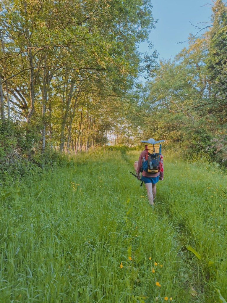
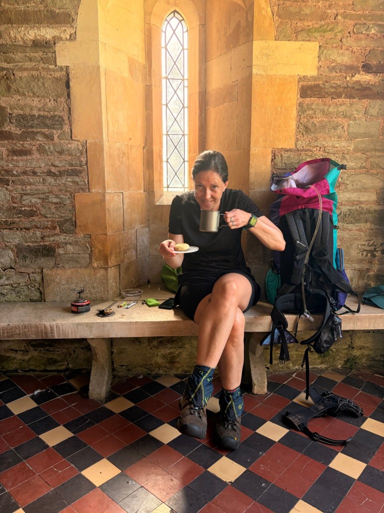
The going was pretty easy from here, slight undulations, farm tracks, grassy meadows, lovely orchards, an ultimate frisbee course and Rowlestone church where we stopped for a tea and an Eccles cake (the very best thing to come out o Lancashire, after Alfred Wainwright) . We only had three miles to go and it was mid morning, so we took our time and enjoyed a bench and a cool bit of shade. A steep ascent followed by a step descent landed us in Walterstone, and the Carpenters Arms, whence from we came three days prior.
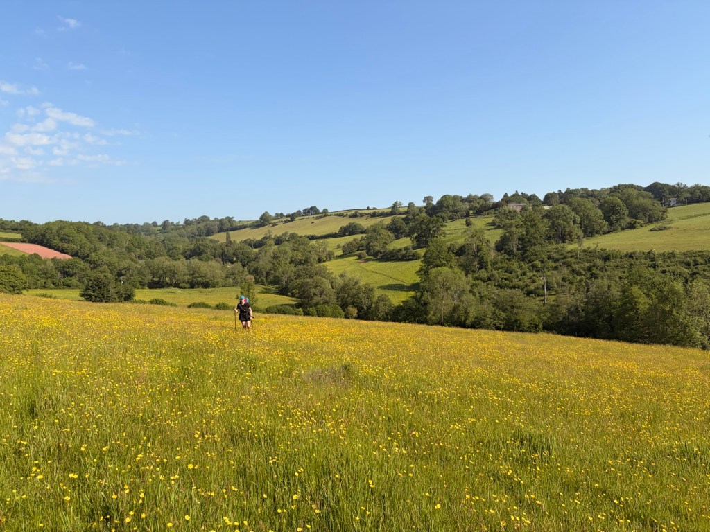
Anyone in need of a GLORIOUS swift and easy getaway, I can HIGHLY recommend this trail. Stunning, varied, full of water, a couple of pubs and village stores, easy camping , quiet country lanes and a bit of historic/alien interest. What the hell more could you ask for? We may yet do it again in fact…
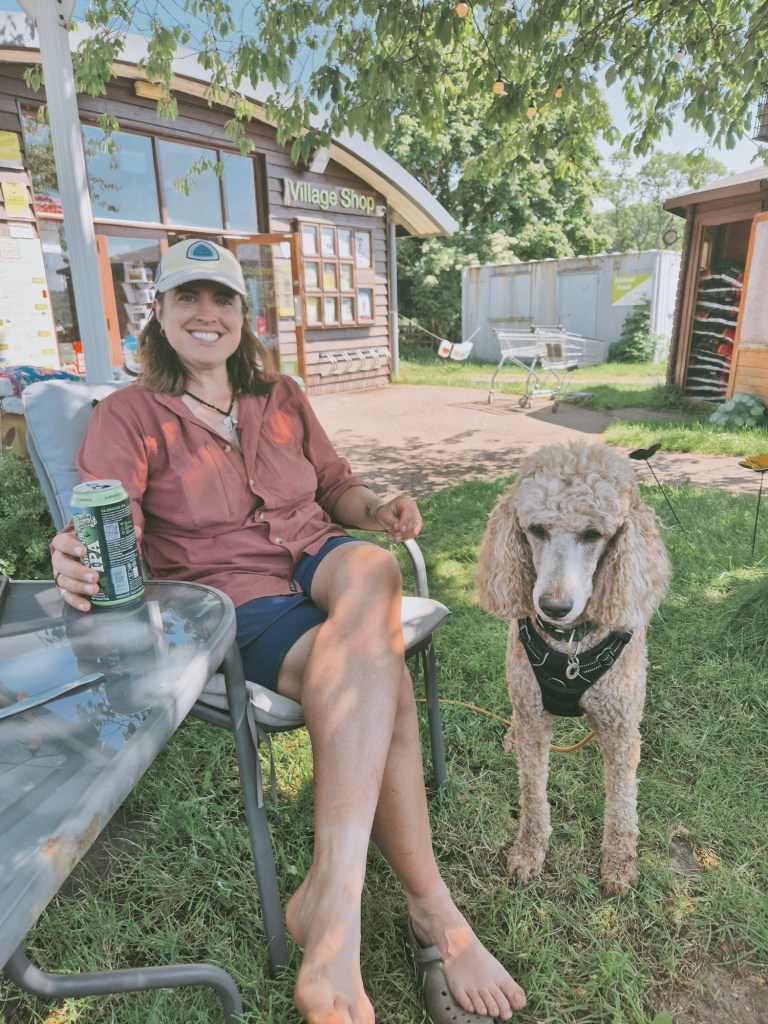
Back we went to that wonderful award winning shop in longtown where we sat and drank a couple of beers in the shade. Seriously, if you’re ever passing (not sure why you would be,) this shop is 10/10.
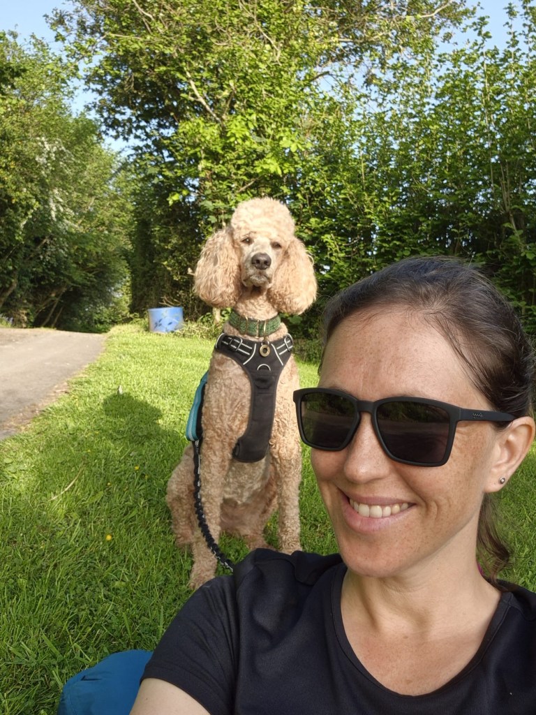


Love seeing your beautiful faces! -Maps
LikeLike
I needed a little lie-down after all that walking x
LikeLike